28Nov
First Basin
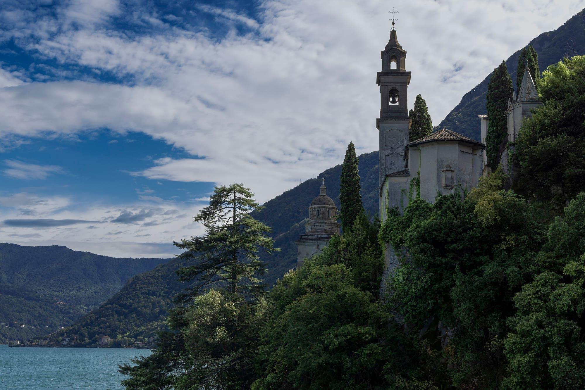
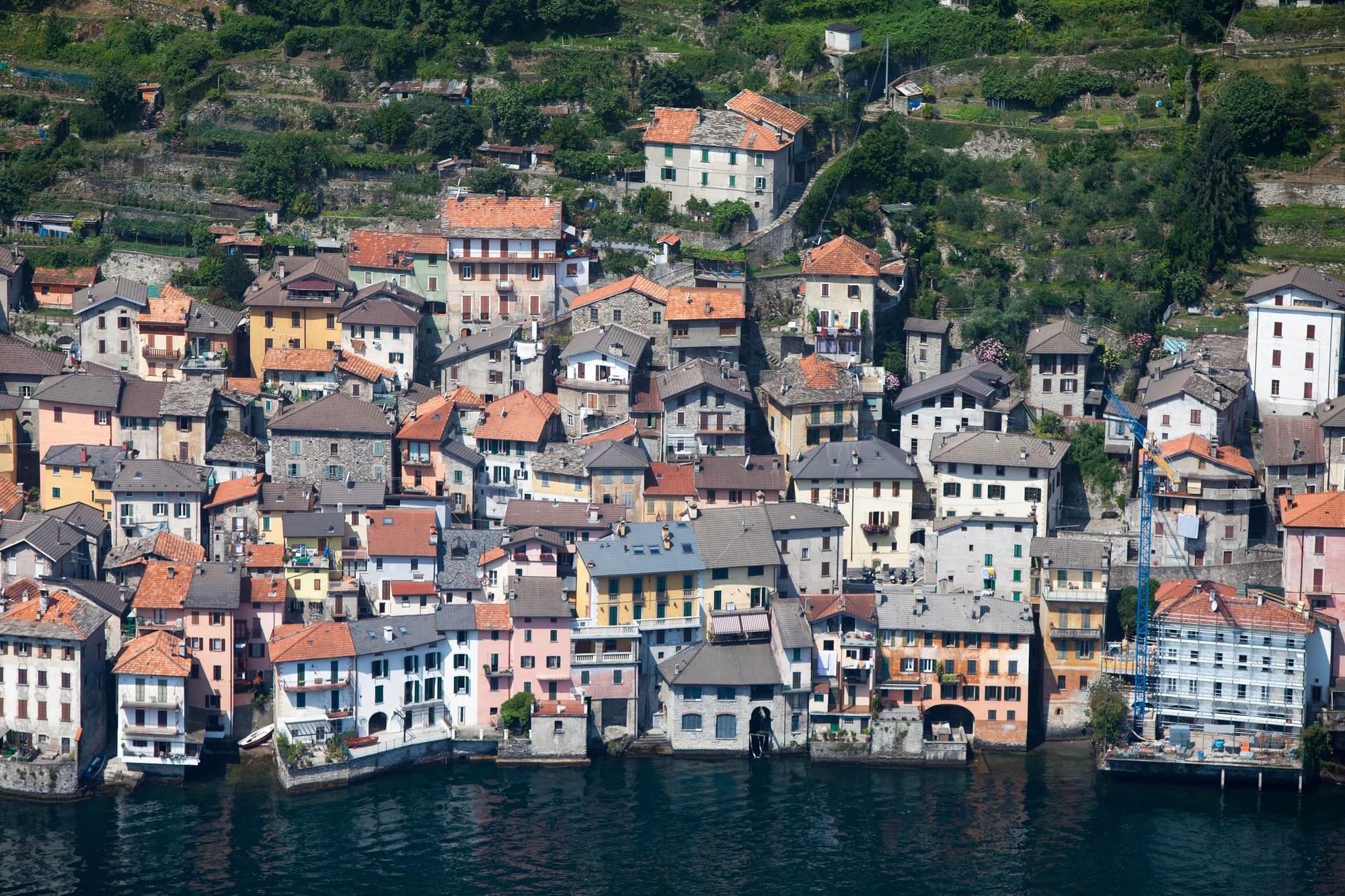
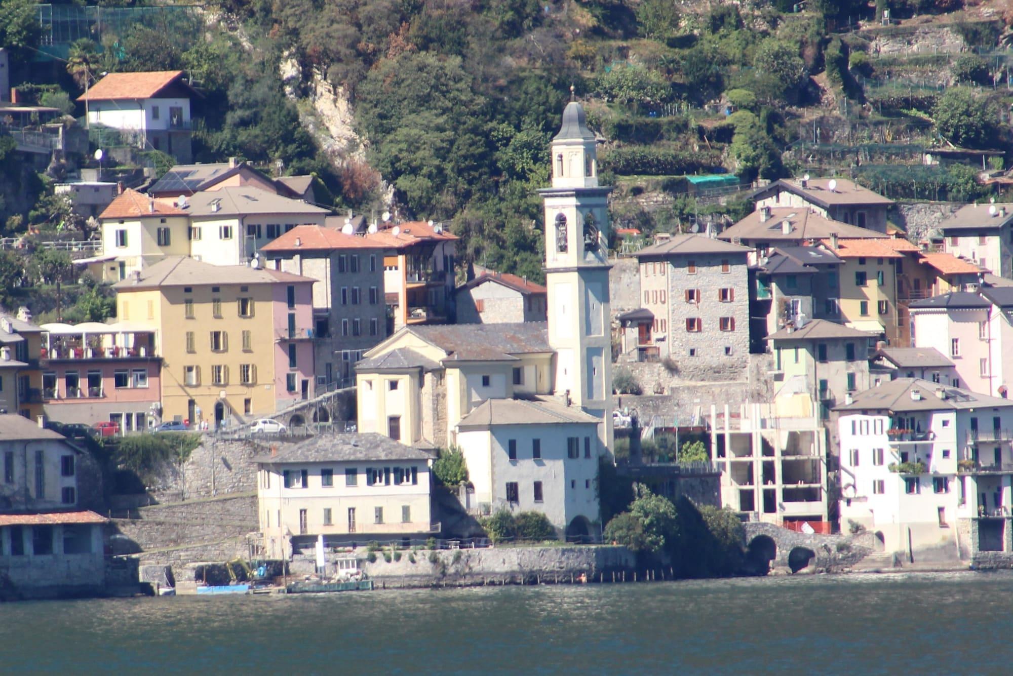
Tall, narrow houses down to the water below Monte Comana, between Laglio and Argegno: lanes and steps between the houses, the parish church sheer above the lake and, at the far end of the village, the church of the Immacolata on its spur of rock.
Brienno is a small comune on the western shore, 17 kilometres from Como between Laglio and Argegno, gathered below Monte Comana.
Its origins are uncertain: finds made here very probably take it back to Celtic times, and the earliest written record is from the tenth century. Even the name is thought to come from a Celtic word, “brig”, mountain, and in the local dialect the mountains are still called “bric”. In the age of the communes Brienno had a ring of walls and sided with Como against Milan, and the Statutes of Como of 1335 charged it with the upkeep of a stretch of the Via Regina, as far as the “pontem de Zognio”. It was twice joined to Laglio, under Napoleon and again from 1927 to 1948, as Laglio-Brienno from 1928, before becoming a comune in its own right once more.
Brienno is a small comune on the western shore, 17 kilometres from Como between Laglio and Argegno, gathered below Monte Comana.
Its origins are uncertain: finds made here very probably take it back to Celtic times, and the earliest written record is from the tenth century. Even the name is thought to come from a Celtic word, “brig”, mountain, and in the local dialect the mountains are still called “bric”. In the age of the communes Brienno had a ring of walls and sided with Como against Milan, and the Statutes of Como of 1335 charged it with the upkeep of a stretch of the Via Regina, as far as the “pontem de Zognio”. It was twice joined to Laglio, under Napoleon and again from 1927 to 1948, as Laglio-Brienno from 1928, before becoming a comune in its own right once more.
Brienno's old centre is a compact knot of houses that grew upwards, on steeply sloping rock: tall, narrow houses, old lanes and flights of steps climbing to the church square and the road. On the landing stands the fortified house the village calls “la Tur”, and near the pier the old silk mill. The road through the village was only opened in the last decade of the nineteenth century, pulling down some forty houses, thanks to a bequest from the Comitti family, people of Brienno who had made their fortune in London making barometers and thermometers. Before that, the way was barely wide enough for two men. Since 1986 the Statale Regina has bypassed the old centre in a tunnel.
Sheer above the lake stands the parish church of Santi Nazaro e Celso, rebuilt in Baroque in the seventeenth century on an eleventh-century chapel, with Enea Salmeggia's altarpiece of 1618 and a polyptych of 1508. On 7 July 2011 mud and debris swept through the village, damaging buildings and roads. Another flood struck Brienno on 27 July 2021.
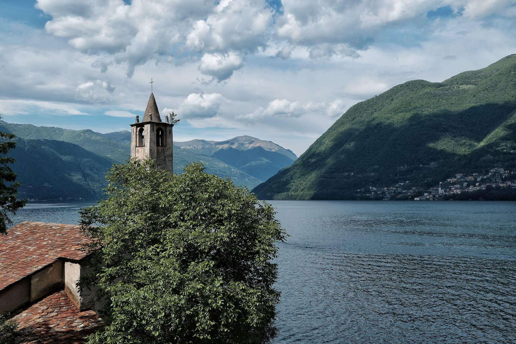
On the Via Regina stands the church of San Vittore, also called Sant'Anna: a single nave, built towards the end of the sixteenth century on an eleventh-century building and reworked in the seventeenth, with frescoes and stucco of that century and, among the paintings, an unusually stout Saint Charles Borromeo. The bell tower, with its corner pilasters, walled-up twin windows and conical spire, is the Romanesque one of the older church. Higher up, overlooking the road, stand the remains of the Torrazza, or tower of San Vittore, a medieval tower that guarded the way: at the time of the Ten Years' War it belonged to a chain of signals with the castle of Nesso. It is private property.
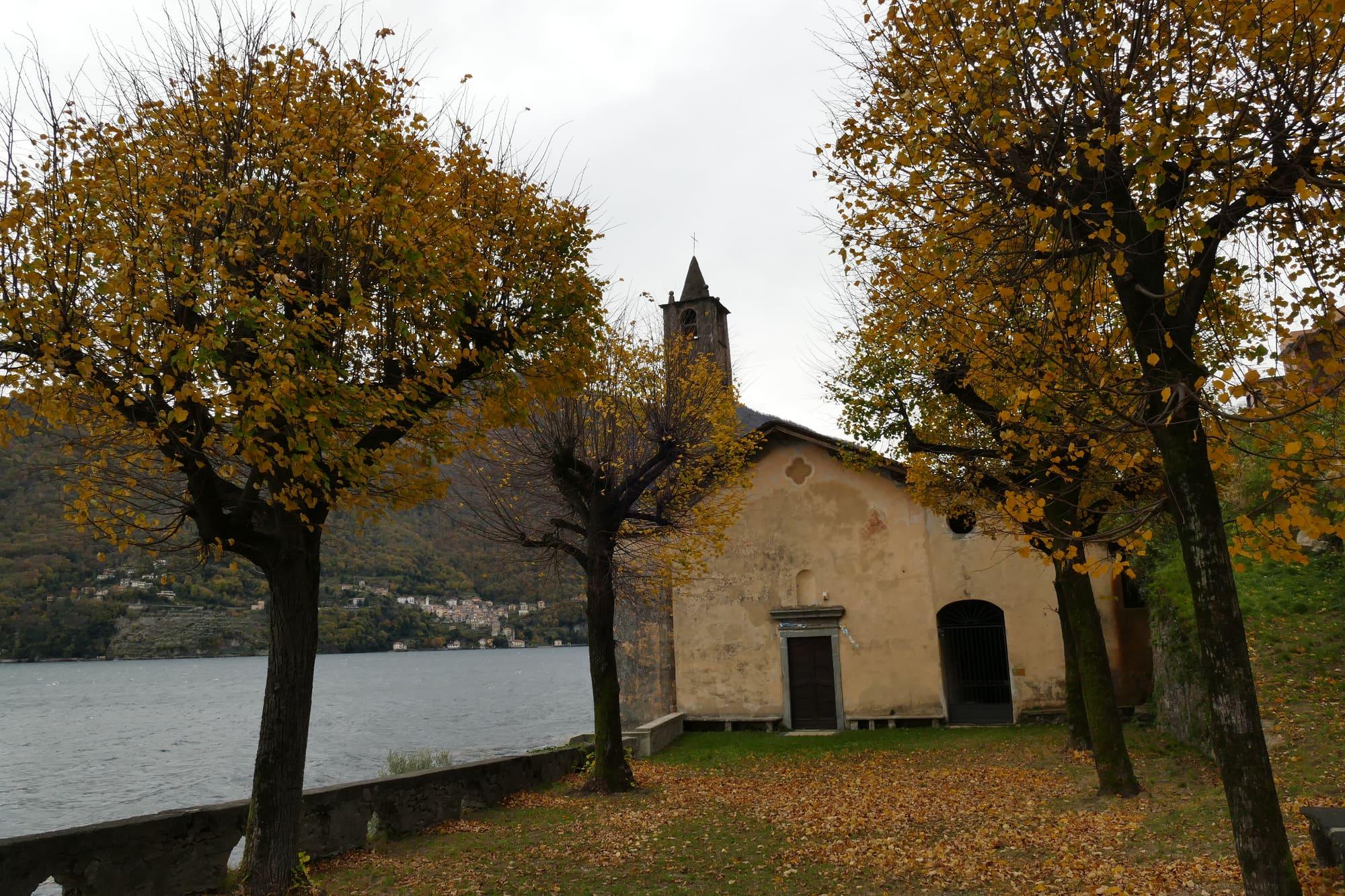
The footpath to the cemetery, at the far end of the village, passes Villa Zita, an eclectic villa of the early twentieth century, and reaches the Puncett, the spur of rock on which stands the church of the Immacolata, also called the Madonna del Ronco. It was built in the seventeenth century where an oratory already stood, gained its bell tower in the mid-eighteenth century and its portico in 1865; inside are a balustrade of Verona marble, an altar front in scagliola and the frescoes of the chancel, with a scene from the Apocalypse, the prophets Isaiah and Ezekiel and the kings David and Solomon. Just below is the Comitti family's mausoleum, and under the church square a First World War gallery dug for the Frontiera Nord, the Cadorna Line: blowing it up would have closed the Via Regina along the shore.
In the seventeenth century two Roman inscribed stones found at Brienno came into the possession of Lazzaro Carafino, Bishop of Como, who took them to his native Cremona. The Torrazza, the tower above the main road, was built in the Byzantine period, between the fifth and sixth centuries, as part of the defences of the middle of the lake, and was still in use in the age of the communes.
Brienno belonged to the pieve of Nesso. In 1497 Ludovico il Moro gave it, with the whole pieve, to Lucrezia Crivelli, and in 1647 the village was granted as a fief to Francesco Gallio, Duke of Alvito. In 1751 Brienno had 378 inhabitants and still owed the duke two staia of olive oil a year. It was governed by the “pubblica vicinanza”, the assembly of the heads of household, which the consul called on the orders of the two sindaci; the comune's officers were elected in public every two years.
The silk mill near the harbour, recognisable by its chimney, was built in the first half of the nineteenth century to meet the demand for silk. It worked until the 1930s and was one of the village's main sources of work.
Onorato Ferdinando Comitti (1819–1887) made barometers, thermometers and clocks in London; in 1850 he opened his first workshop in Clerkenwell. His son Luigi Fedele, born in Brienno in 1851, joined him at fourteen to work alongside him. In the early twentieth century Luigi Fedele had the mausoleum below the church of the Immacolata built in his father's memory.
The Botanical Path, waymarked number 1, starts at the town hall and climbs towards Monte Comana. Along the way, yellow plaques give each plant's scientific, Italian and dialect name. After the chapel of Sant'Antonio Abate it climbs the Scala Santa, an old stone stairway used to take livestock up to the summer pastures. Higher up the path enters beech woods and reaches the Pra' dela Cürt, the old common pasture, marked by two granite columns. It is a steep route for fit walkers.
From the same chapel path 1 also carries on towards Torriggia and Laglio, on the route of the Cammini della Regina. Shorter is the Via della Poesia, a loop of about 2.6 kilometres and forty minutes: it crosses the village, climbs to the huts above it and crosses two stone bridges. Lines by the poet Elsa Somalvico are set out along the way.
How long it takes
Typical door-to-door times by public transport, changes included. From Milan, counted from Centrale station.
Updated 26 October 2026
The mountains around the village hide the sun before astronomical sunset: sunrise and sunset are worked out on the village's own horizon.
Today, 1 November, estimated sunlight at the reference point: first at 08:36 and last at 13:21, giving 4 h 46 of direct sun, out of 10 h 06 of daylight.
Today the sun arrives between 08:12 and 08:37 and leaves between 13:07 and 13:30, depending on the street.
Watch the shadow reach Brienno today
See from Brienno where the sun goes, in 3D
The sun at an exact spot in Brienno: your hotel, a beach, a street
By bus from Como on ASF Autolinee's C110, the western-shore line for Argegno and Menaggio, which stops in the village at Cà del Lago–Mulino, Genzanico, Via Regina (Brascee) and Crotto Platani; the C120 to Lanzo uses the same stops. Some boats on the Como–Colico line also call at Brienno. By car, the Statale 340 Regina leads here; Como is 17 kilometres away.
On the village shore there is an official bathing point, Parco Pubblico: like every place people swim, it is sampled by law, and the class of its water is assigned at the end of each season from the official sampling. The current verdict is on the Ministry of Health's Portale Acque.
The highest summit in view from here is Monte Gruf, 2938 m, 51 kilometres away.
The ochre line follows today's sun path and marks the estimated times of its first and last appearance above the mountains. Drag the panorama to see all of it.
Official bathing sites nearby, with their water quality classifications.
It is the spur of rock at the far end of the village, by the cemetery, on which stands the church of the Immacolata, also called the Madonna del Ronco: a viewpoint reached by the footpath that passes Villa Zita. The church is seventeenth-century, with a bell tower of the mid-eighteenth century and a portico of 1865; just below is the Comitti family's mausoleum, and under the church square a First World War mine gallery, made so that the Via Regina could be blocked in case of invasion.
The coat of arms, granted in 2002, reworks that of the Bianchi di Velate family, a red castle with two towers under a gold chief with a crowned black eagle; in place of the banner over the castle, though, there is a sail, that of a comballo, the lake's cargo boat on which the village's economy rested. In the nineteenth century Brienno lived by fishing, but also by mulberries and weaving.
What is around, and how far.
© OpenStreetMap contributors · ODbL
Typical door-to-door times.
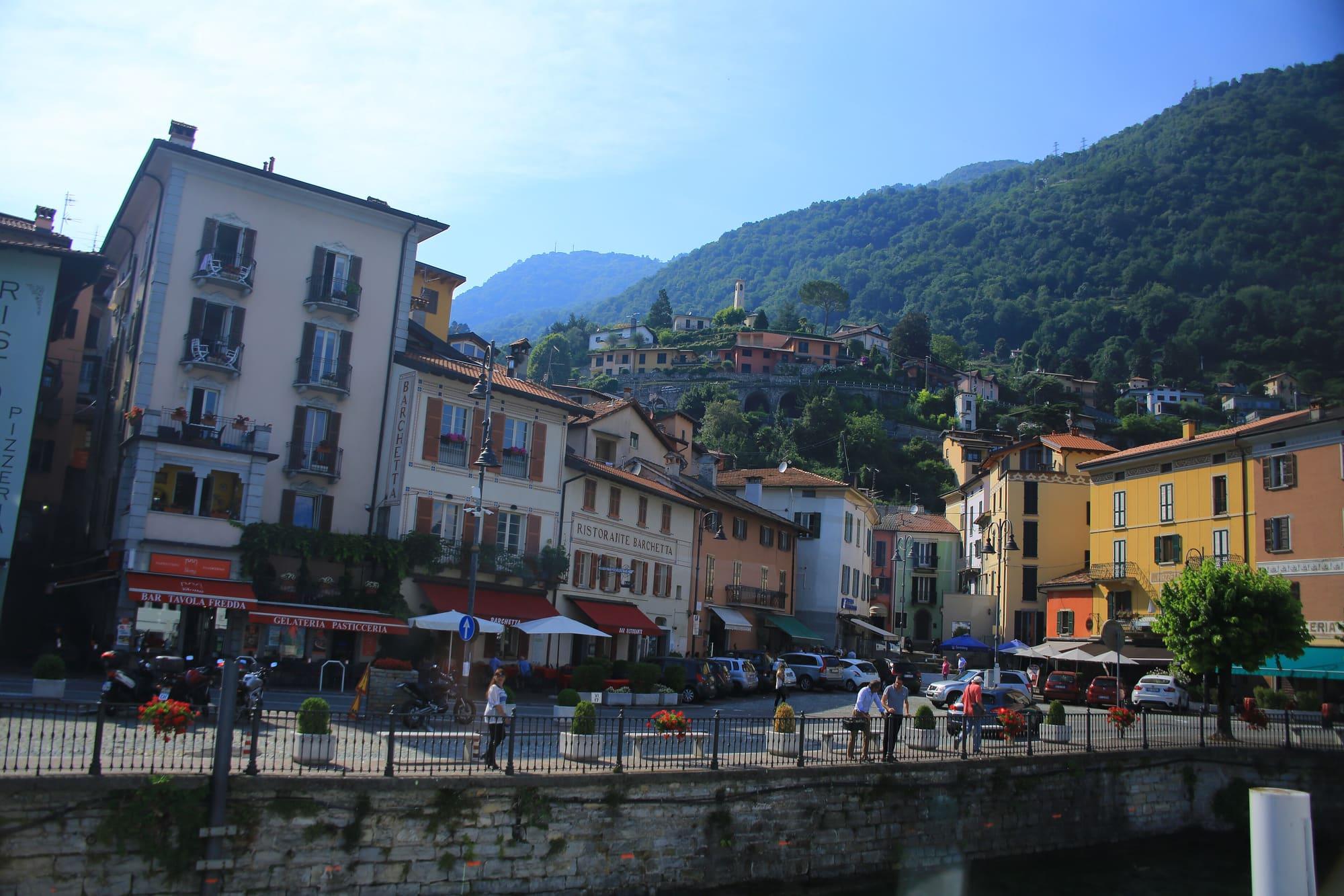
A medieval bridge, a red cable car, and the valley that leads to Switzerland.
3 min
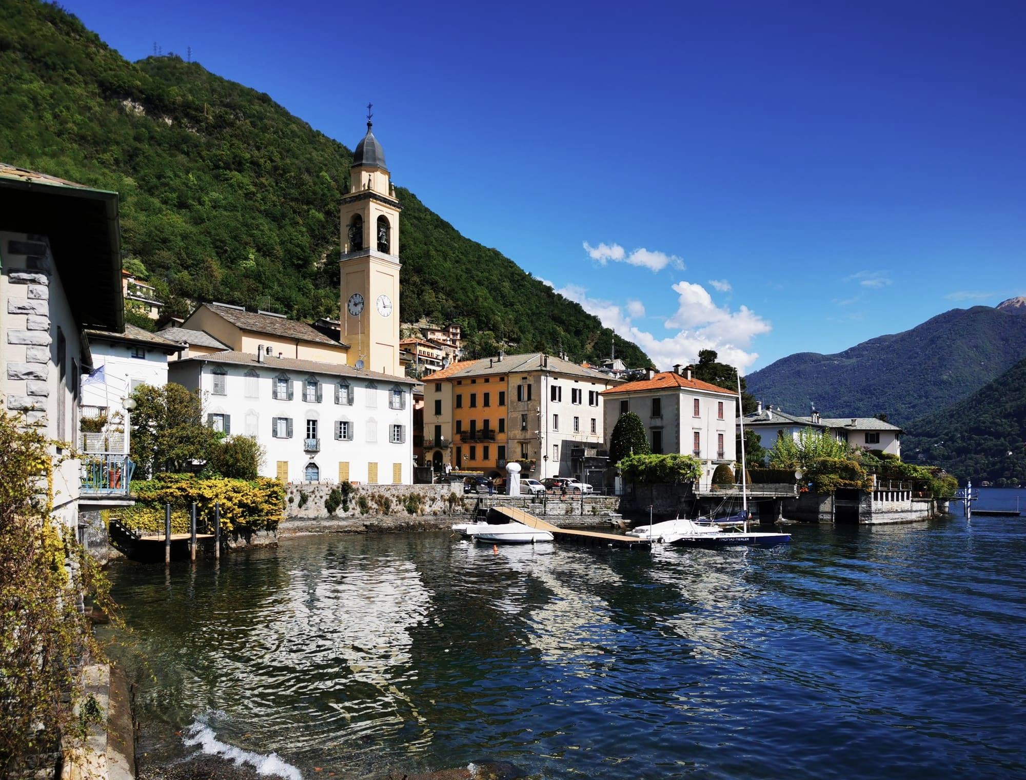
Five hamlets of Moltrasio stone on the western shore, where the lake is at its narrowest and deepest: the waterfront with its sculptures, San Giorgio and the boatwrights' yard.
5 min
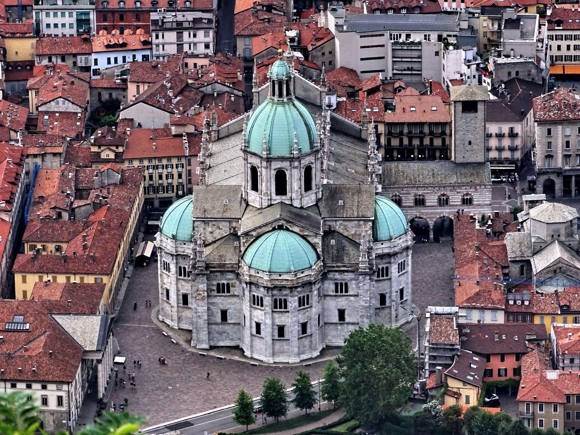
The city of silk and rationalist architecture, with the lake reaching right into the centre.
25 min