Skip to content

Lecco Branch

The Monte Muggio loop

Seven easy kilometres through the pastures above Bellano, from Alpe Giumello to Alpe Chiaro, the little church of Sant'Ulderico and the top of the Muggio at 1799 metres, with views of the lake, the Legnone and the Grigne.

Duration
3 h – 4 h
Effort
Gentle
Access
Open to all
Car-free
Needs a car
With children
Not ideal
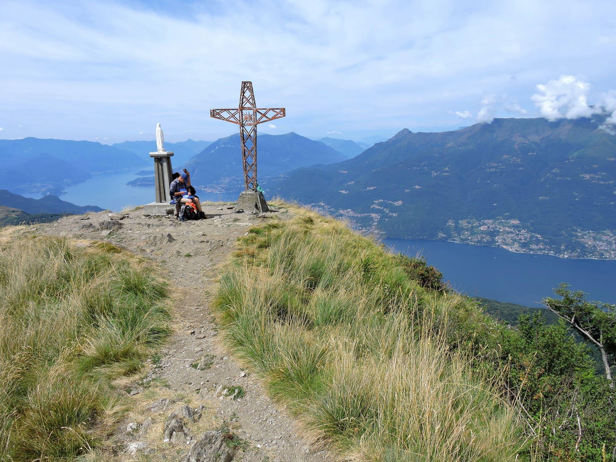
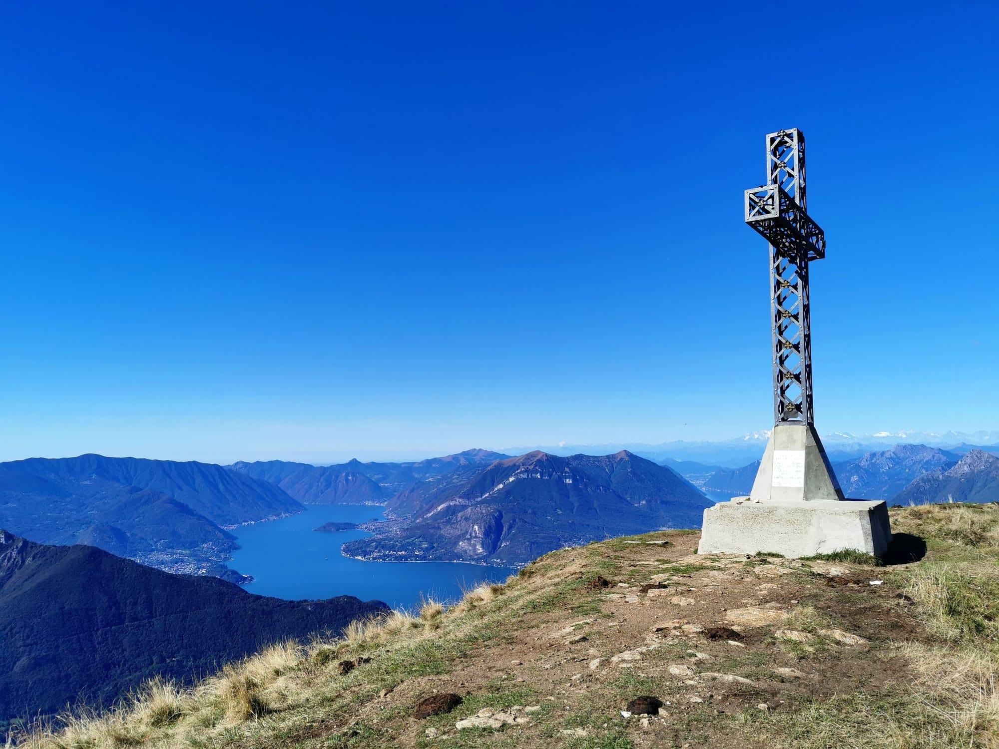
The Muggio's summit cross against a blue sky, the lake far below among the mountains.Mario Falcetti · CC BY 4.0
  • Kaitu · CC BY-SA 4.0
  • Mario Falcetti · CC BY 4.0

1 / 3

The Muggio's summit cross against a blue sky, the lake far below among the mountains.

Mario Falcetti · CC BY 4.0

How it works

It is a loop with modest climbing and views over the Lario and the peaks around it: the Legnone, the Legnoncino, the Pizzo dei Tre Signori, the Grigna, as far as the Swiss Alps and Monte Rosa.

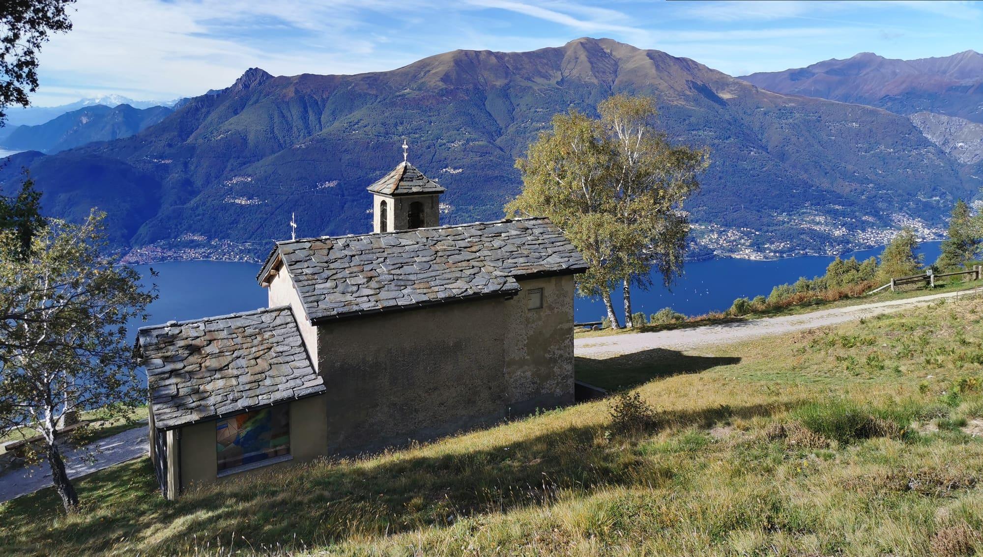
You start at Giumello, at 1530 metres, in the Valsassina, and follow the road towards the Capanna Vittoria hut through the huts in the pastures on the Muggio's slopes. Past a little church and the paragliding launch you reach Alpe Chiaro, where cows graze in summer. A path climbs gently through the pastures, and from the Prà Bolscino ridge the view opens over the upper lake and the Val Varrone below the Legnoncino and the Legnone. Through conifer woods you reach the pastures of Alpe Dolca, then through beeches a junction leading to the church of Sant'Ulderico, at 1394 metres, an eleventh-century chapel tied to the cult of the hermit saints of the Lario, on a grassy shelf facing the Legnone. You climb back through the beeches past a spring to the eastern pastures of Alpe Giumello and along the mountain's flank reach the top of the Muggio, at 1799 metres, with a view over the Orobie Prealps from the Grigna to the Pizzo dei Tre Signori and the Legnone. You come down through the pastures to Giumello.

  1. A seven-kilometre loop with 260 metres of climb from Alpe Giumello, in the comune of Casargo, up to 1799 metres, three to four hours: an easy route, recommended from April to November depending on ground and snow conditions.
  2. You drive up from Bellano on provincial road 67 towards Taceno and Casargo, then from Margno towards Narro and Alpe Giumello; the road is paved but narrow in places, with many bends.
  3. There is nowhere to eat and no hut along the way: food and beds are at Alpe Giumello, at the start.

WhereBellano · Dervio

On the map

Explore the lake
BellanoDervioThe Monte Muggio loop

© OpenStreetMap contributors · ODbL

What's on nearby

Events within a few kilometres, on now or coming up.

See all

Nearby: places, experiences, services

Sources and credits

Sources and credits