23Jul 2027
First Basin
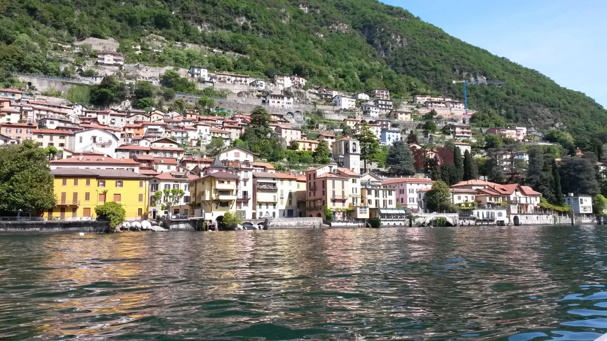
Two villages joined in 1927 between Moltrasio and Laglio: Carate below Santa Marta and the chapels of its Way of the Cross, Urio with its Romanesque bell tower and the boat pier.
Carate Urio was born in 1927 from the union of two comuni, Carate Lario and Urio, on the western shore between Moltrasio and Laglio, and its territory climbs from the shore to the woods of Monte Comana and Monte Colmegnone. The name Carate is thought to be Celtic, meaning “place of stone”, after the quarries of Moltrasio stone worked since antiquity. There are three main churches: Santa Marta, once dedicated to Saints Nazarius and Celsus, beside the Statale Regina at the top of a stairway lined with the fourteen chapels of the Way of the Cross of 1752; at Urio, Santi Quirico e Giulitta, rebuilt in 1865 around a twelfth-century Romanesque bell tower, with a churchyard looking out over the lake; and above Cavadino the sanctuary of Pobiano, among meadows and woods.
Carate Urio was born in 1927 from the union of two comuni, Carate Lario and Urio, on the western shore between Moltrasio and Laglio, and its territory climbs from the shore to the woods of Monte Comana and Monte Colmegnone. The name Carate is thought to be Celtic, meaning “place of stone”, after the quarries of Moltrasio stone worked since antiquity. There are three main churches: Santa Marta, once dedicated to Saints Nazarius and Celsus, beside the Statale Regina at the top of a stairway lined with the fourteen chapels of the Way of the Cross of 1752; at Urio, Santi Quirico e Giulitta, rebuilt in 1865 around a twelfth-century Romanesque bell tower, with a churchyard looking out over the lake; and above Cavadino the sanctuary of Pobiano, among meadows and woods.
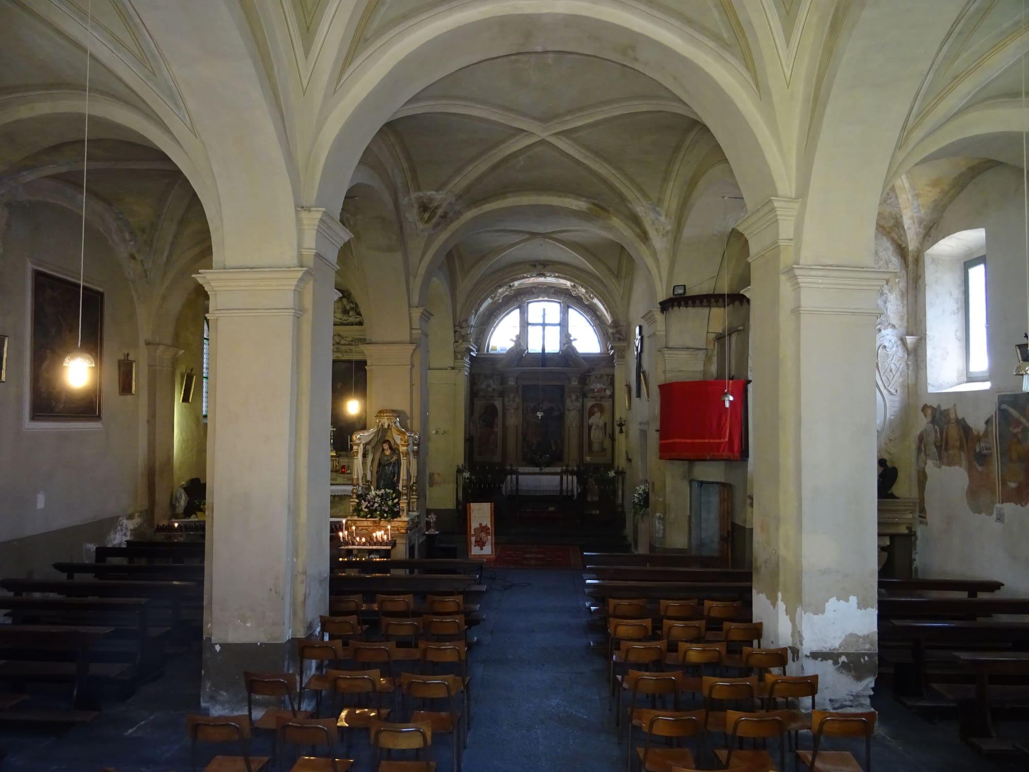
At Carate, above the Statale Regina, you climb to Santa Marta by a stairway lined with the fourteen chapels of the Way of the Cross, built in 1752 and restored around the 2000s. The oldest part of the church probably dates from the eleventh century, and the building was enlarged at least twice: between the thirteenth and fourteenth centuries, with the two side aisles and the sacristy, and in the sixteenth, with the confraternity hall, whose vault was built in 1661 and painted in 1708 with the Apotheosis of Saint Martha.
Inside, over the high altar, hangs an altarpiece of the Madonna and Child among saints, and on the right-hand wall an unusual Last Supper with only eleven apostles: Judas is missing. Once dedicated to Saints Nazarius and Celsus, the church was Carate's first parish church; today the parish is that of Santi Giacomo e Filippo, founded in 1645.
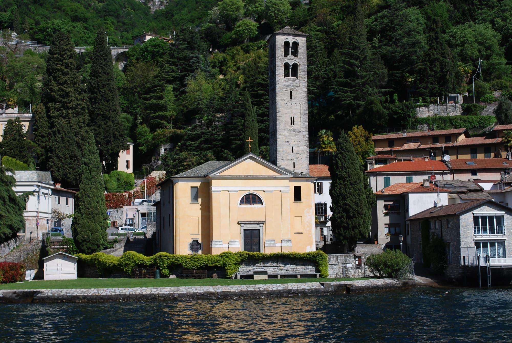
Urio was a comune of its own until 1927. Its church of Santi Quirico e Giulitta was rebuilt in 1865 after the floods of the Pangino stream, around a massive twelfth-century Romanesque bell tower with two tiers of twin-arched windows; inside are Renaissance panels, with Saints Roch and Dominic and with the Assumption, and canvases of the sixteenth and seventeenth centuries. From the churchyard you look out over the lake, and on the shore is the boat pier.
A quarter of an hour on foot from the hamlet of Cavadino, among meadows and woods looking over the lake, lies the hamlet of Pobiano with the sanctuary of the Holy Trinity: a small church renewed in 1932 by the silk industrialist Pietro Amedeo Taroni, with a fifteenth-century fresco of the Trinity over the altar, two canvases by Carlo Maria Mauri and a replica of the grotto of Lourdes.
Carate and Urio had separate histories. Urio was a commune of the pieve of Zezio, the church district of the city of Como, and Como's statutes of 1335 made it responsible for maintaining a stretch of the Via Regina. In 1652 it was one of the “Cinque terre unite alla città di Como”, the five lands joined to the city of Como, with 18 households. In 1731 it was granted as a fief, together with Rovenna, to Count Giuseppe Della Porta.
Carate, by contrast, belonged to the pieve of Nesso, and in the sixteenth century it formed a single commune with Laglio; the two communities were still joined in 1644. On 1 June 1647 the whole pieve, Carate included, was granted as a fief to Francesco Gallio, Duke of Alvito. In 1807 a Napoleonic decree joined Carate to Laglio and Urio to Moltrasio. With the Restoration both became independent again, and in 1862 Carate took the name Carate Lario.
On the shore at Urio stands the Castello di Urio, which is in fact a villa: it was built between the second half of the seventeenth century and the eighteenth, with access from the lake and a large park. The garden was cut into the rock, with broad terraces, stairways, stone gateways with ironwork, fountains, grottoes and rows of cypresses. At the end of the eighteenth century the villa passed by marriage to the Porta family, then to the Counts Castelbarco.
In the first years of the nineteenth century it passed to Count Melzi, a friend of Alessandro Sanquirico, the stage designer of La Scala. Melzi remodelled the villa, adding turrets, pinnacles and battlements. In 1871 it was bought by the Richard family of Milan, who enlarged the garden. The present facade, with its balustrade and statues along the top, was designed in 1950 for Baron Langheim. From the 1950s until 2024 the castle was an Opus Dei house. It is private and is seen from the lake.
The hillside path between Moltrasio and Laglio crosses the whole village along old mule tracks and stairways. At Urio it passes the cemetery, crosses the bridge over the Fesnàa stream and reaches Cavadino. From there it drops to Santa Marta, where there are also a seventeenth-century plague column and an old cemetery with neo-Gothic tombs. The stairway of the Way of the Cross then leads down to Carate, and from Carate to Laglio the path runs almost level, some thirty metres above the lake.
Towards the mountains, a steep path climbs from the hamlet of Sassello to the Monti di Carate past the old stone quarries, and another climbs from Cavadino to the Monti di Urio, at about 800 metres. Higher still runs the Via dei Monti Lariani. From the Colma dei Murelli, at 1,200 metres, about half an hour's walk takes you to the top of Monte Colmegnone, 1,383 metres high, or of Monte San Bernardo, 1,348 metres high, with its little church.
How long it takes
Typical door-to-door times by public transport, changes included. From Milan, counted from Centrale station.
Webcams
Updated 22 October 2026
By bus from Como on ASF Autolinee's C110, the western-shore line for Argegno and Menaggio, which stops in the village at Urio Ponte, Carate Santa Marta and Carate Olzavino, about twenty minutes from the bus station; the C120 to Lanzo uses the same stops. Navigazione Laghi's Como–Colico line boats call at the Urio pier. By car, the Statale Regina leads here.
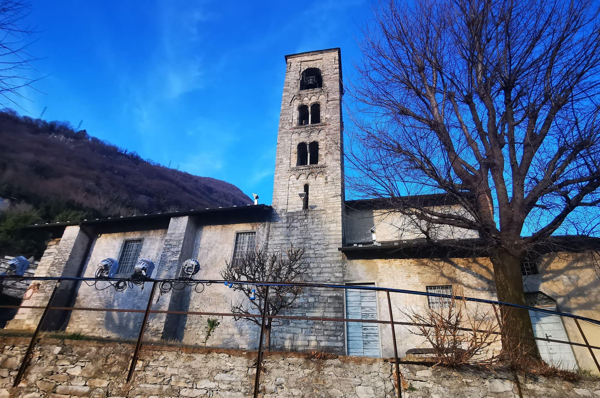
You reach it by a stairway with the fourteen chapels of the Way of the Cross of 1752, restored around the 2000s, and inside, on the right-hand wall, is a Last Supper with eleven apostles instead of twelve: Judas is missing. It was Carate's first parish church, eleventh-century in its oldest part, and it keeps frescoes from the thirteenth to the fifteenth century and a Romanesque bell tower.
The mountains around the village hide the sun before astronomical sunset: sunrise and sunset are worked out on the village's own horizon.
Today, 1 November, estimated sunlight at the reference point: first at 08:05 and last at 16:22, giving 8 h 18 of direct sun, out of 10 h 06 of daylight.
Watch the shadow reach Carate Urio today
See from Carate Urio where the sun goes, in 3D
The sun at an exact spot in Carate Urio: your hotel, a beach, a street
The highest summit in view from here is Monte San Primo, 1682 m, 8 kilometres away.
The ochre line follows today's sun path and marks the estimated times of its first and last appearance above the mountains. Drag the panorama to see all of it.
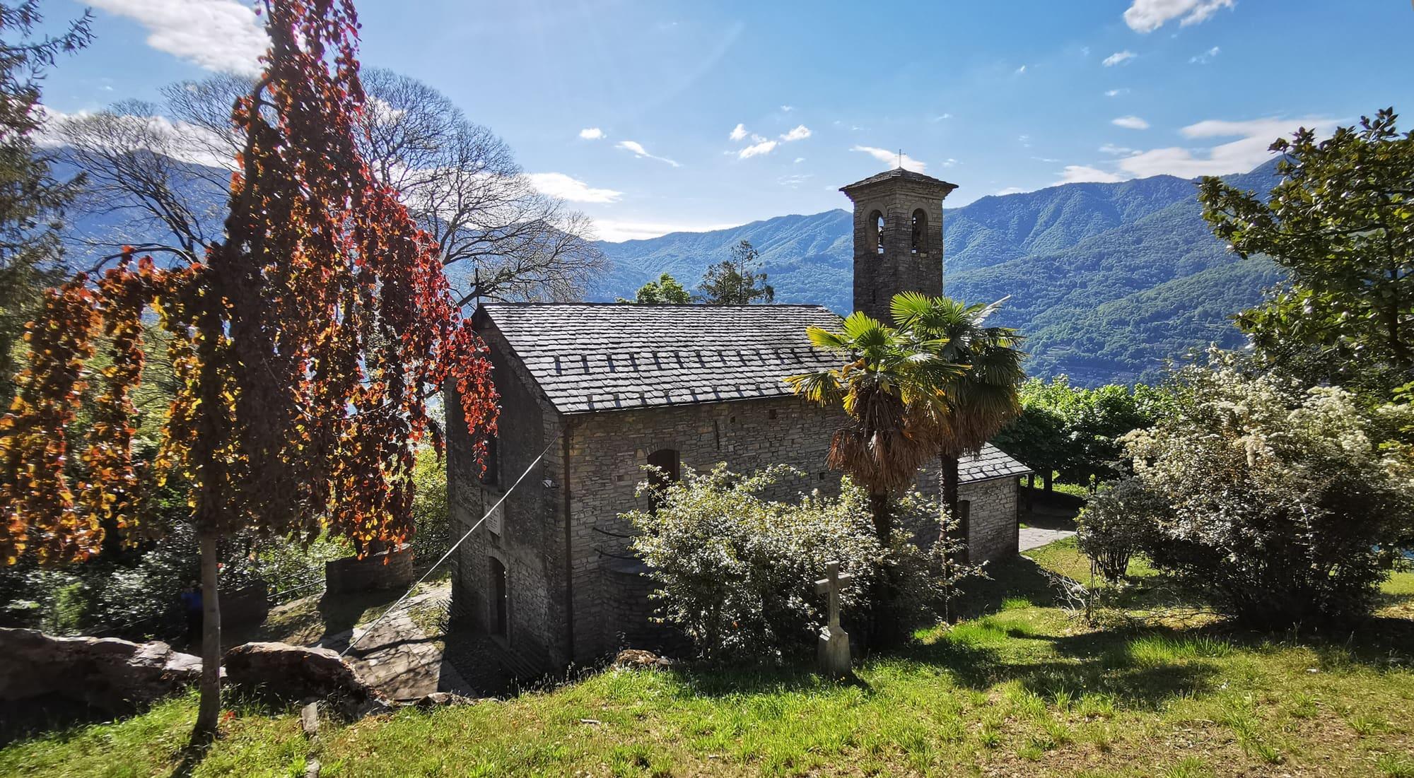
Above the village, in the hamlet of Pobiano, a quarter of an hour on foot from the hamlet of Cavadino, among meadows and woods, with a view of the lake. The little church of the Holy Trinity was renewed in 1932 by the industrialist Pietro Amedeo Taroni; over the altar it keeps a fifteenth-century fresco of the Trinity, and beside it is a replica of the grotto of Lourdes.
What is around, and how far.
© OpenStreetMap contributors · ODbL
Typical door-to-door times.
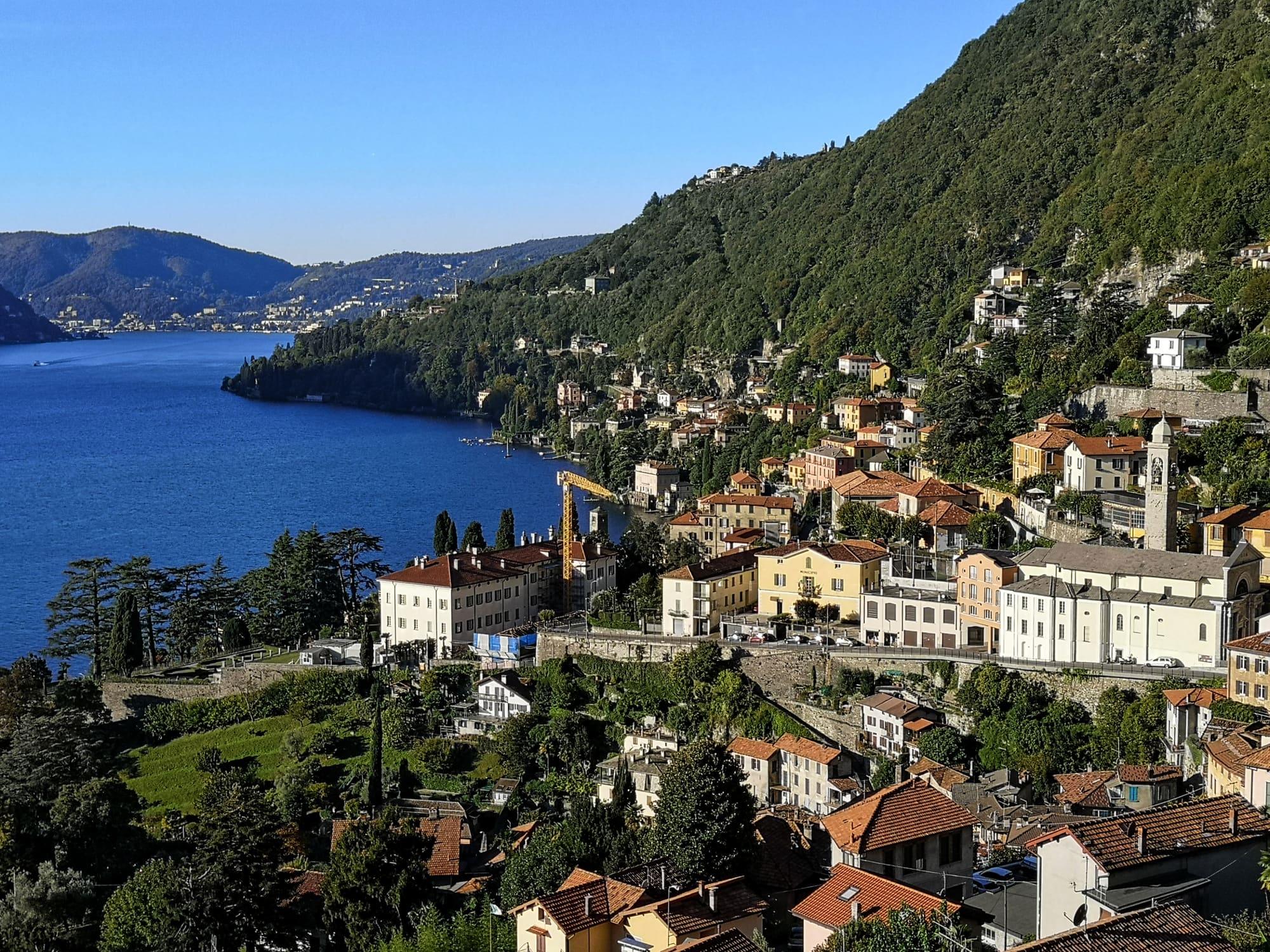
The village of Moltrasio stone, just past Cernobbio: houses stepped above the mill stream, the Scala Santa running down to the lake and the villas where Bellini lived.
3 min
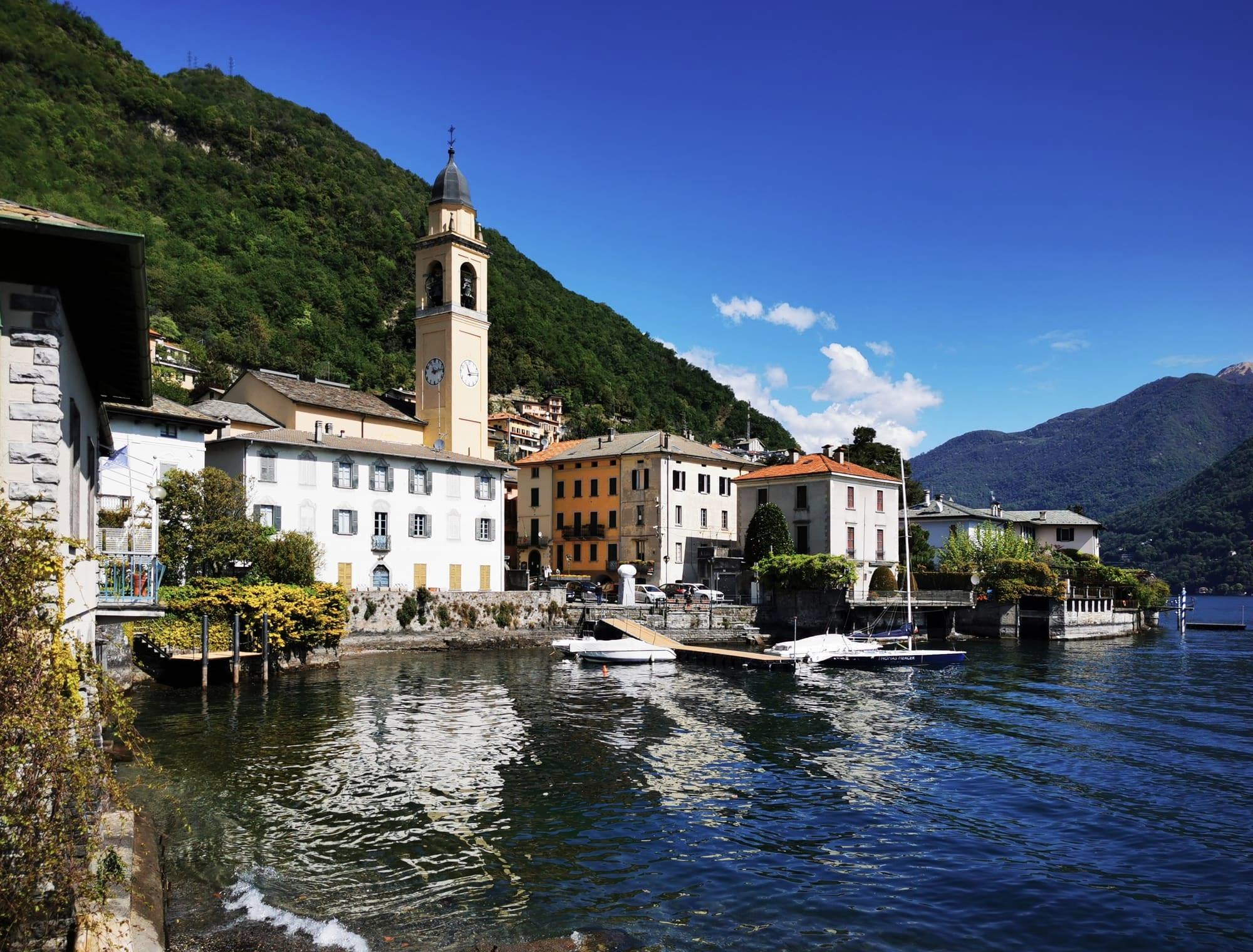
Five hamlets of Moltrasio stone on the western shore, where the lake is at its narrowest and deepest: the waterfront with its sculptures, San Giorgio and the boatwrights' yard.
3 min
The city of silk and rationalist architecture, with the lake reaching right into the centre.
20 min