


6Nov
First Basin
Moltrasio
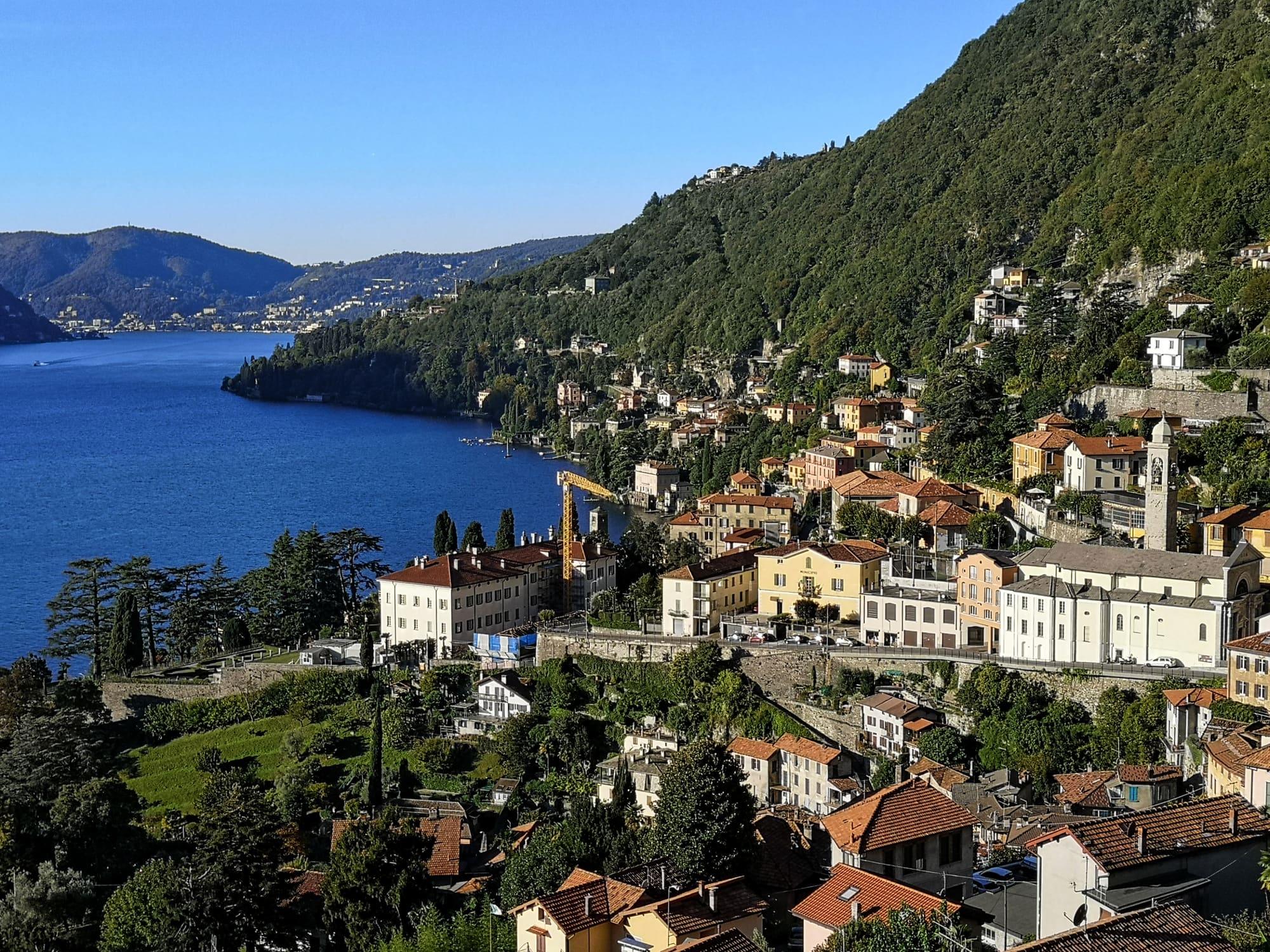
The village of Moltrasio stone, just past Cernobbio: houses stepped above the mill stream, the Scala Santa running down to the lake and the villas where Bellini lived.
- Ideal for
- Stone stairways and mule tracks, Romanesque churches, villas seen from the lake
- Time needed
- Half a day on foot, between the pier and Sant'Agata
- Best season
- All year; in the morning, when the sun is on this shore
- What to see
- The Scala Santa, from the lake up to Sant'Agata
- Best reached by
- C110 bus from Como in about a quarter of an hour; boat on the Como–Colico line
- Biliana Rousseva · CC BY-SA 4.0
- Ottantafame · CC BY-SA 4.0
The place
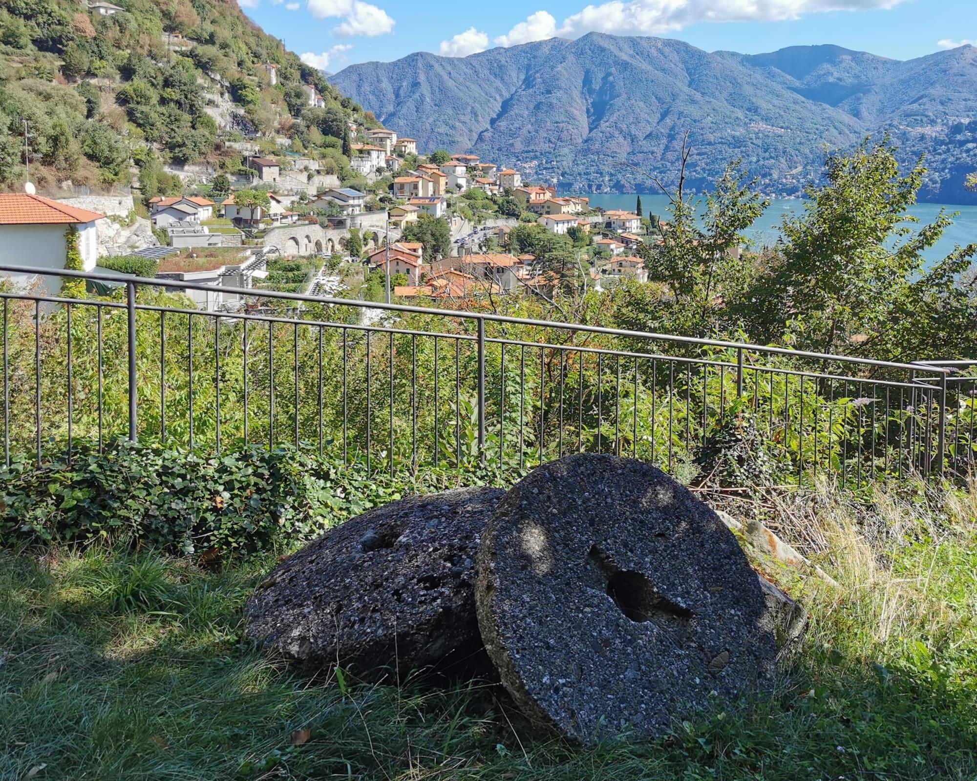
Moltrasio is built of the stone of its own mountain: a limestone rich in silica, “Moltrasio stone”, which runs from Monte Bisbino down to the shore and which the Maestri Comacini, the master builders of these valleys, carried to building sites across the province. There were seventeen quarries, and the blocks came down to the lake on wooden sledges, the “carei”, along stone tracks built for the purpose; beside them ran the water of the Pizzallo, where eleven mills were turning in 1722, in the valley named the Valle dei Molini after them. The Via Regia passed through here, and its Pasètt bridge still stands; on the old road stands Sant'Agata too, the eleventh-century Romanesque church that served as a pest house in the plagues of the seventeenth century. Since the eighteenth century Moltrasio has been a place for summer stays, in secluded villas at the water's edge: Villa Passalacqua with its gardens, Villa Le Rose where Winston Churchill stayed, Villa Salterio Erker, the home of Vincenzo Bellini.
Moltrasio is built of the stone of its own mountain: a limestone rich in silica, “Moltrasio stone”, which runs from Monte Bisbino down to the shore and which the Maestri Comacini, the master builders of these valleys, carried to building sites across the province. There were seventeen quarries, and the blocks came down to the lake on wooden sledges, the “carei”, along stone tracks built for the purpose; beside them ran the water of the Pizzallo, where eleven mills were turning in 1722, in the valley named the Valle dei Molini after them. The Via Regia passed through here, and its Pasètt bridge still stands; on the old road stands Sant'Agata too, the eleventh-century Romanesque church that served as a pest house in the plagues of the seventeenth century. Since the eighteenth century Moltrasio has been a place for summer stays, in secluded villas at the water's edge: Villa Passalacqua with its gardens, Villa Le Rose where Winston Churchill stayed, Villa Salterio Erker, the home of Vincenzo Bellini.
Read on
Stone and water
The Scala Santa is the straight stairway, stone from top to bottom, that joins Via Besana to the Via Regina by the lake. It has two surfaces: stones set on edge in a smooth run, for the sledges that brought stone, timber and goods down to the landing, and a strip a third as wide in low steps, so that people climbing on foot were not run down. The same stairway leads up to Sant'Agata, turning left towards the “Pos Palaz”.
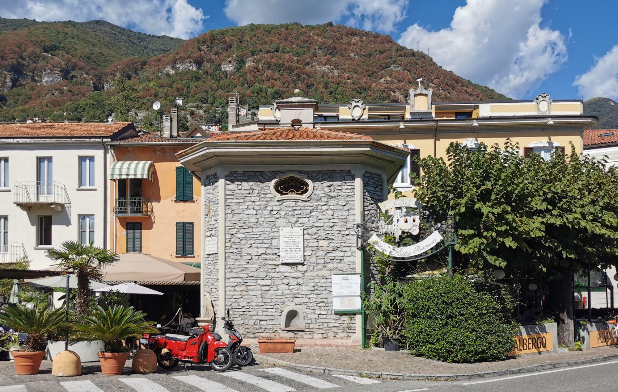
Besides stone, the village's other resource is water. The Pizzallo runs down the Valle dei Molini under the Pasètt bridge, probably the oldest in the valley, on the line of the old Via Regina between Sant'Agata and Santa Marta at Carate Urio. Just above Piazza Umberto I is the wash house of the early twentieth century, used until the 1980s, and the village has thirty drinking fountains, the first of them from the late nineteenth century, when the aqueduct arrived.
Villas and churches
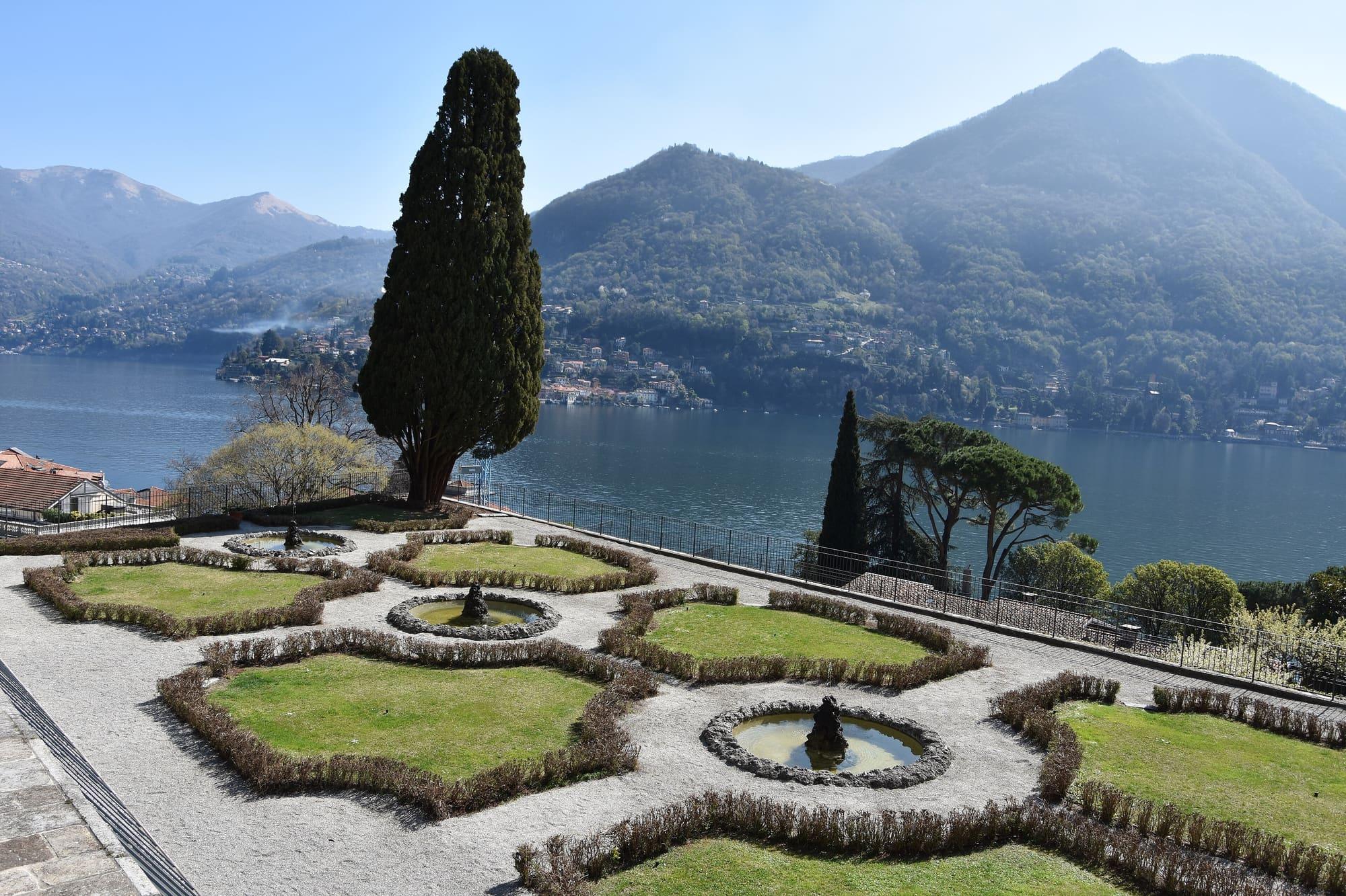
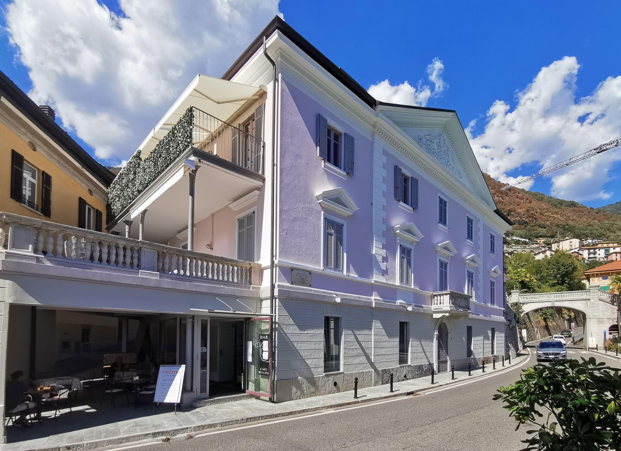
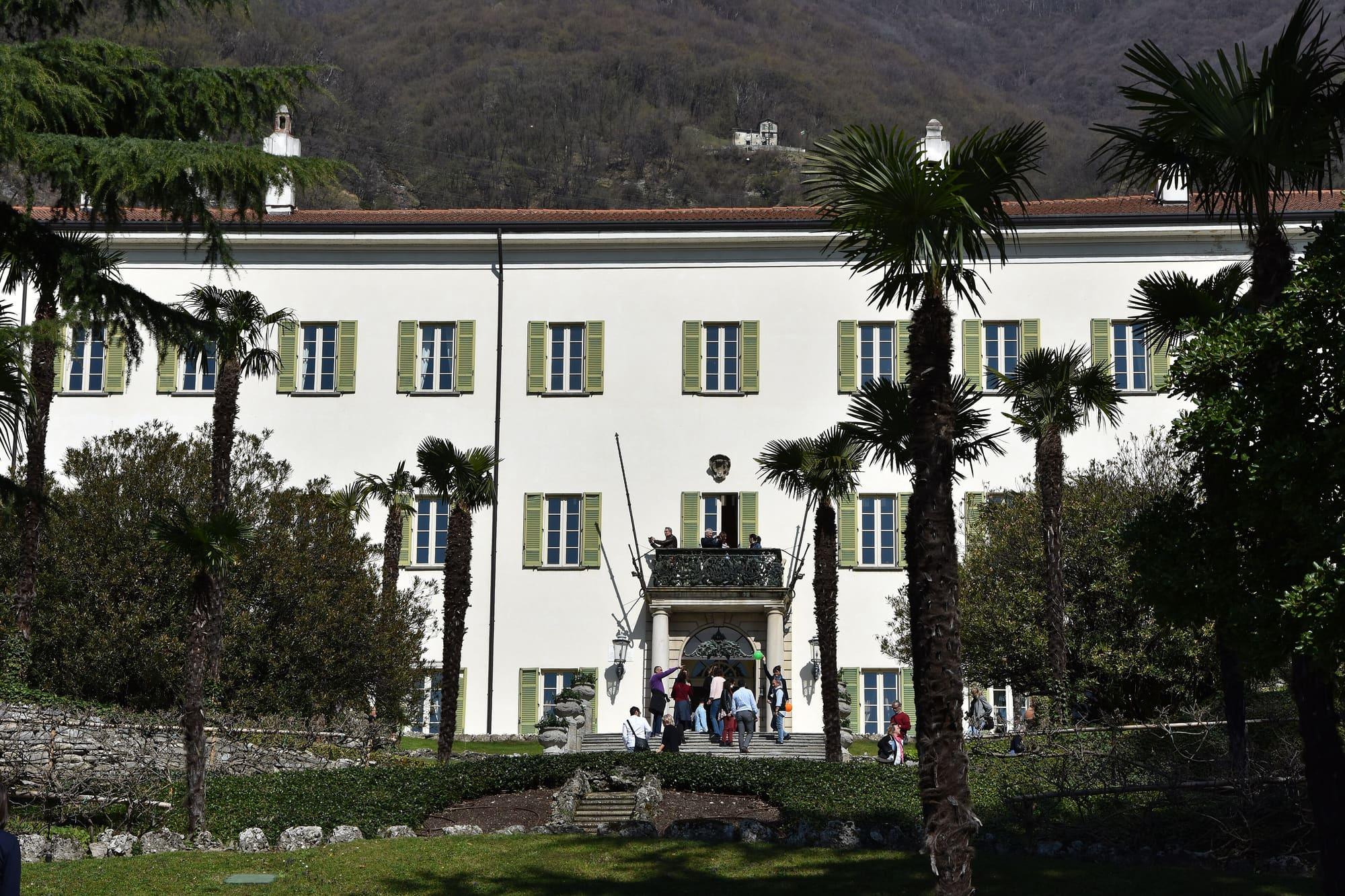
Moltrasio's villas stand at the water's edge and are private property. Villa Passalacqua grew from a core built by the Odescalchi; the Lucini Passalacqua had it redesigned by Felice Soave, with stairways, fountains and terraced gardens held up by underground galleries. Villa Le Rose was where Winston Churchill stayed; Villa Salterio Erker was the home of Vincenzo Bellini.
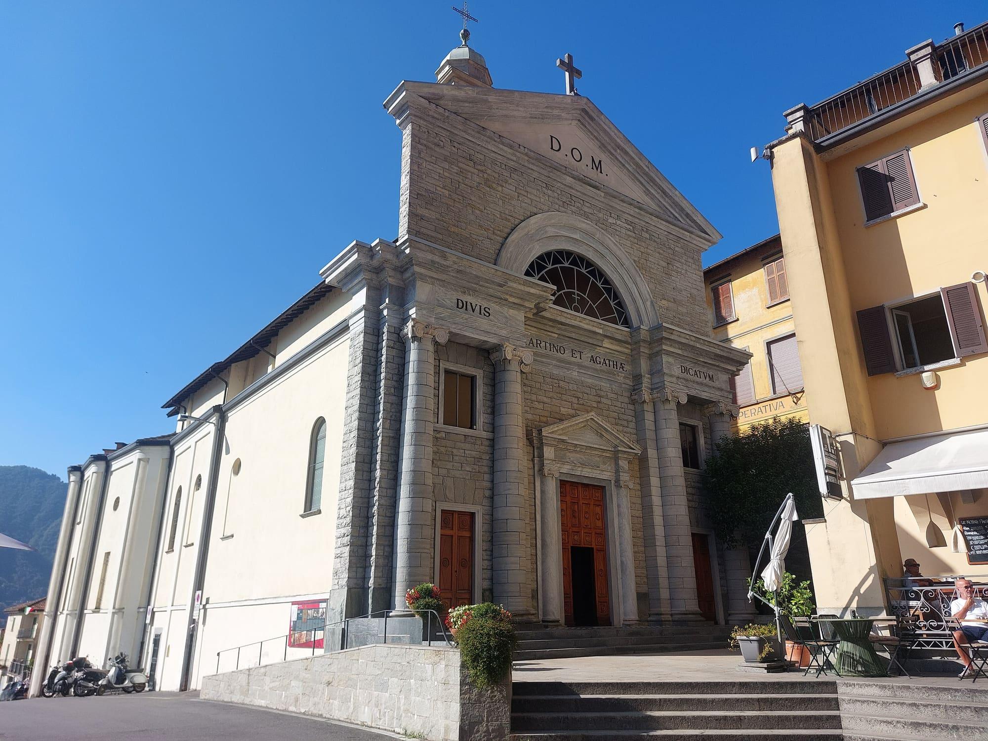
The churches belong to different periods. The parish church of Santi Martino e Agata, in the Borgo, is documented in 1207. Since 1721 it has kept a relic of the Holy Thorn and, on a side altar, a polyptych by Alvise de Donati of 1507 with the Nativity at its centre; its facade of local stone dates from 1935, when the church and the square were enlarged. The Romanesque church of Sant'Agata served as a pest house during the seventeenth-century plague: the 2006 restoration uncovered sixteenth-century frescoes that had lain for centuries under the lime spread against the contagion. On the square in front of the landing stage, the oratory of San Rocco has a Baroque doorway and, over the altar, a badly damaged fresco by Giovanni Paolo Recchi of the Virgin between Saints Roch and Sebastian.
History
The oldest traces of Moltrasio are a copper axe from the third millennium BC and a few Roman coins. A notarial deed of 1058 shows that the village was already a commune with its own consuls. In 1292 Como's statutes gave it the title of borgo, and those of 1335 made it responsible for maintaining the Via Regina as far as the village bridge. Moltrasio belonged to the pieve, the old church district, of Zezio, and in 1405 it was granted the citizenship of Como.
In 1522 Moltrasio was sacked by the men of Torno, its rival on the opposite shore. In 1652 it was one of the “Cinque terre unite alla città di Como”, the five lands joined to the city of Como, with 61 households. By the mid-eighteenth century it answered to no feudal lord, having bought itself free, and had 491 inhabitants. In 1807 a Napoleonic decree joined the comune of Urio to it; Urio became independent again with the Restoration.
Walks from the village
An easy path links Moltrasio to Carate Urio and Laglio along old mule tracks and stairways. From the pier you climb the Scala Santa and follow the Pizzallo up to Tosnacco, the highest hamlet, at 312 metres, then carry on almost on the level towards Urio and Carate. Laglio is about an hour and a half away, with 120 metres of ascent.
Two paths climb from Moltrasio to the Colma del Bugone, at 1,119 metres, on the Via dei Monti Lariani, the long-distance trail that starts at Cernobbio. One of them is the Culman, a very steep path that was a smugglers' route: the “spalloni” carried goods on their backs along it from Switzerland down to the lake. At the Colma grows an old beech whose trunk measures more than six and a half metres round, a few minutes' walk from the Monte Bisbino area, 1,325 metres high.
Traditions and feasts
Wine was kept in the crotti, cellars built of the village stone. Laurel berries were gathered too: in the land survey of 1721–1722 Moltrasio declared twenty-five staia of them a year, almost five hundred litres. Boiling the berries gave a medicinal oil.
The patronal feast of San Martino falls on 11 November, and in December comes the Christmas torchlight walk “dai monti al lago”, from the mountains to the lake. Every summer, at the end of July, the Canottieri Moltrasio rowing club holds a swim across the lake: about a thousand metres, from Torno to the Moltrasio shore.
Events
See allThings to see
Events
Before you go
How long it takes
- from Milan1 hTrain, then bus
- from Como15 minBus · by car 16 min
- from Lecco1 h 30Train, then bus · by car 1 h
Typical door-to-door times by public transport, changes included. From Milan, counted from Centrale station.
Webcams
- Moltrasio, the first basinLive video · Skyline Webcams
- Carate Urio, towards Pognana and FaggetoUpdated image · Carateweb, meteo di Carate Urio
- Population
- 1,500
- Elevation
- 247 m
Updated 22 October 2026
How do I get to Moltrasio?
From Como on ASF Autolinee's C110 bus, the western-shore line towards Argegno and Menaggio: about a quarter of an hour from the bus station, with stops in the village at Casa Rossa, Villa Memy–Scalette and Farmacia. The C129 Como–Tosnacco climbs instead along Via Besana, by way of Vignola and the church square, up to Tosnacco. Navigazione Laghi's Como–Colico line boats call at the pier in front of Piazza San Rocco, about twenty-five minutes from Como. By car, the Statale Regina runs through the village.
What is there to see in Moltrasio in half a day?
The Pro Moltrasio's walks follow four themes, stone, water, history and viewpoints, and the stops are all on foot: the oratory of San Rocco on the square in front of the pier, the Scala Santa, the Romanesque church of Sant'Agata, the Pasètt bridge in the Valle dei Molini, Piazza San Martino with the parish church, the wash house above Piazza Umberto I and the Niasc quarry, one of the village's seventeen stone quarries. The churches are a few hundred metres apart; Villa Passalacqua, beside Sant'Agata, is private.
The mountains around the village hide the sun before astronomical sunset: sunrise and sunset are worked out on the village's own horizon.
Today, 1 November, estimated sunlight at the reference point: first at 08:21 and last at 14:55, giving 6 h 35 of direct sun, out of 10 h 06 of daylight.
Today the sun arrives between 08:16 and 08:40 and leaves between 15:22 and 15:57, depending on the street.
JuneDecembertoday
Watch the shadow reach Moltrasio today
See from Moltrasio where the sun goes, in 3D
The sun at an exact spot in Moltrasio: your hotel, a beach, a street
The highest summit in view from here is Monte Palanzone, 1436 m, 8 kilometres away.
- Monte di Careno, 1226 m, 6 km
- Monte di Palanzo, 1391 m, 7 km
- Monte di Faello, 1335 m, 7 km
- Monte Palanzone, 1436 m, 8 km
- Pizzo dell'Asino, 1272 m, 7 km
- Dosmat, 1282 m, 6 km
- Croce d'Ardona, 1002 m, 3 km
- Monte Uccellera, 1026 m, 4 km
- Monte Tre Croci, 906 m, 4 km
- Poncione della Costa, 1251 m, 2 km
The ochre line follows today's sun path and marks the estimated times of its first and last appearance above the mountains. Drag the panorama to see all of it.
How it is drawn
Paler ridges are farther away; heights are stretched two and a half times. Houses are not drawn, nor are trees within half a kilometre. Terrain © Regione Lombardia (CC BY 4.0); summits © OpenStreetMap contributors.
Official bathing sites nearby, with their water quality classifications.
- Spiaggia Lido0.3 kmExcellent · for 9 seasons · in July, sun estimated until 18:34 at the marked point3D — see from the beach at Spiaggia Lido where the sun goes
What links Moltrasio to Vincenzo Bellini?
Two villas, both private. Between 1829 and 1833 Bellini was a guest at Villa Passalacqua, the years of Norma, La straniera and La sonnambula, the last inspired by the singer Giuditta Pasta, who had a villa at Blevio on the opposite shore. Villa Salterio Erker was also one of his homes, and tradition has it that the water of the Pizzallo, the mill stream, inspired him for La sonnambula.
What can you see from Moltrasio?
The opposite shore, close by. From the village's viewpoints you see Palanzo, Lemna and Molina, hamlets of Faggeto Lario, then Torno, the villas of the far shore, Blevio and, at the end, Brunate and Como. The slope facing the lake looks east and south-east: the sun reaches it in the morning and goes early behind the mountain.
On the map
What is around, and how far.
© OpenStreetMap contributors · ODbL
Nearby
Typical door-to-door times.
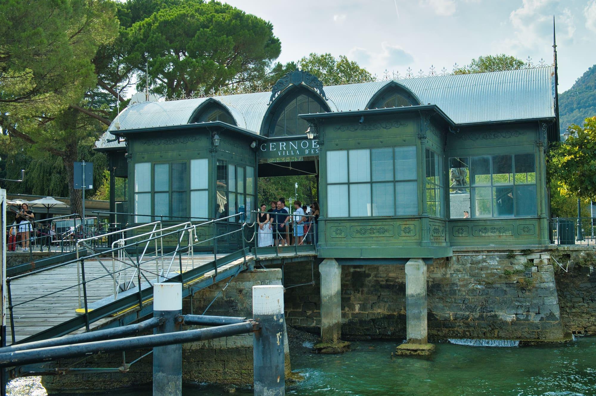
Cernobbio
A square on the water ten minutes from Como, and the grand hotel behind the plane trees.
5 min
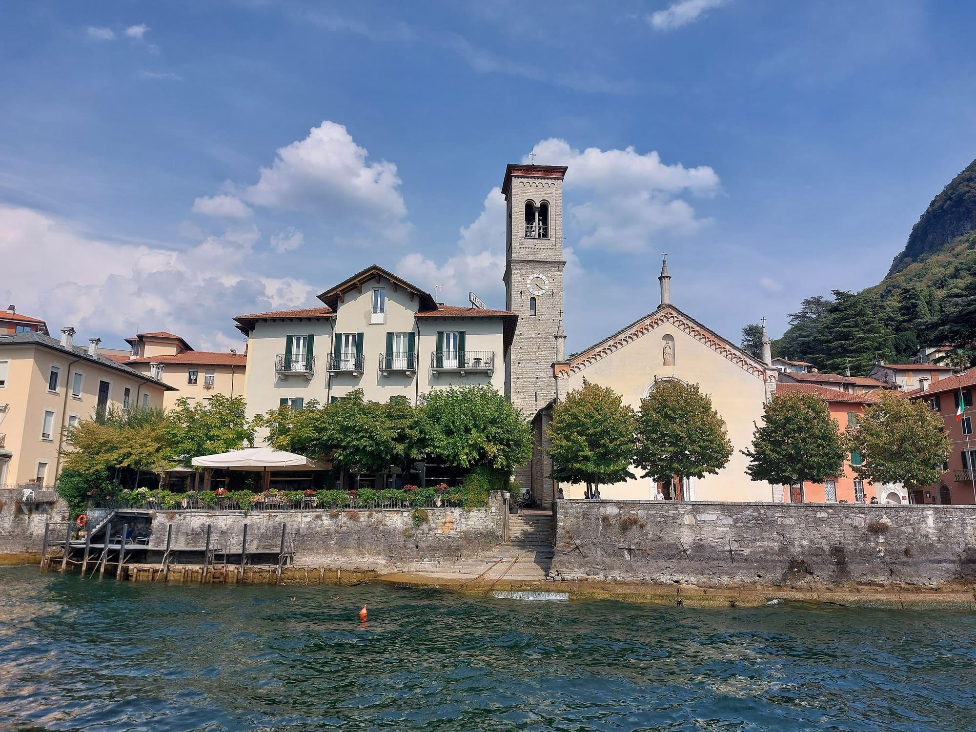
Torno
Two small harbours, the church of San Giovanni with its Romanesque bell tower, and Villa Pliniana just outside the village.
5 min
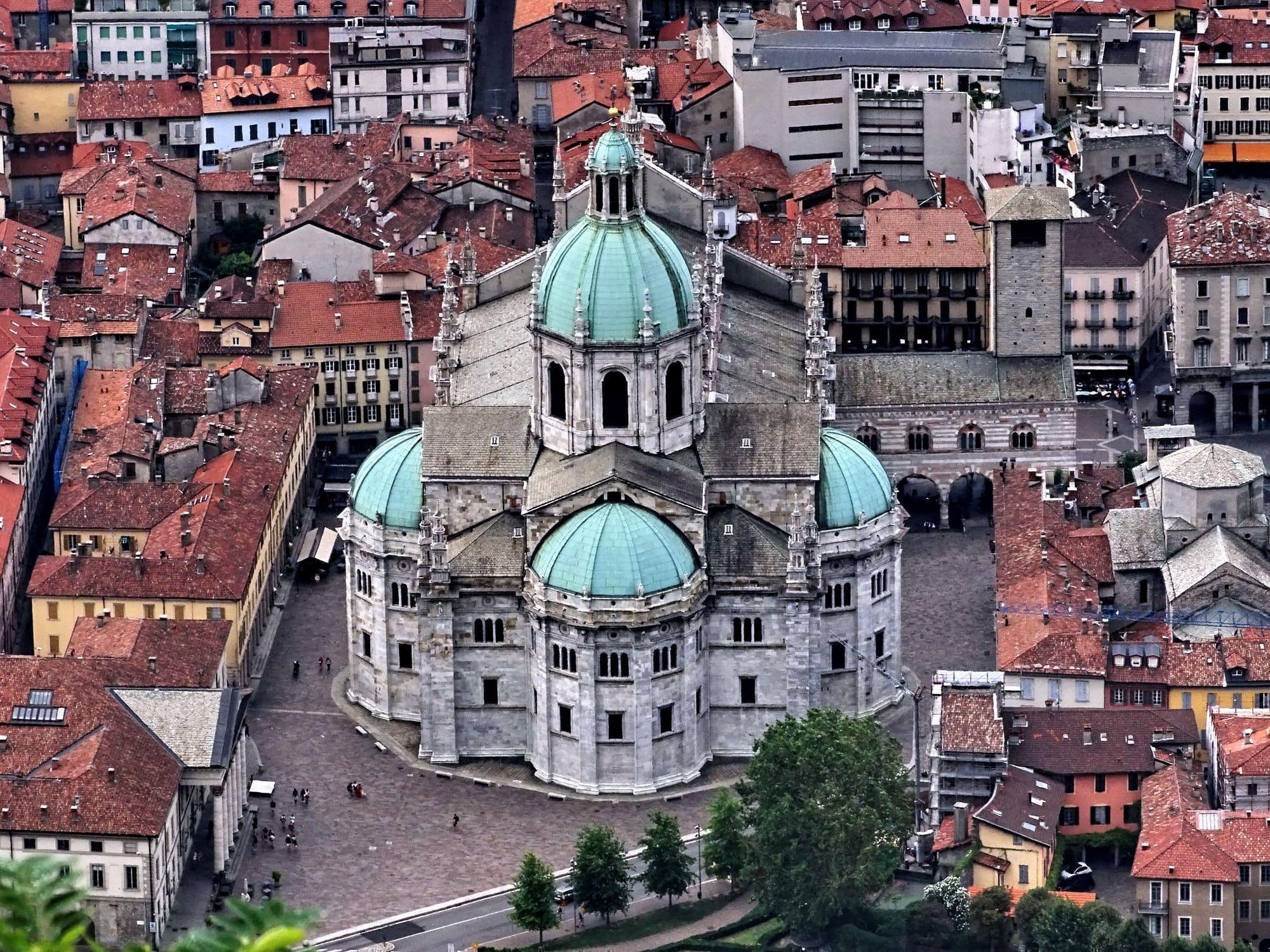
Como
The city of silk and rationalist architecture, with the lake reaching right into the centre.
15 min
Sources and credits
- Maps, parking, services and distances: © OpenStreetMap contributors (ODbL).
- Freely licensed photographs: authors and licences under Photograph credits.
Sources and credits
- Maps, parking, services and distances: © OpenStreetMap contributors (ODbL).
- Freely licensed photographs: authors and licences under Photograph credits.