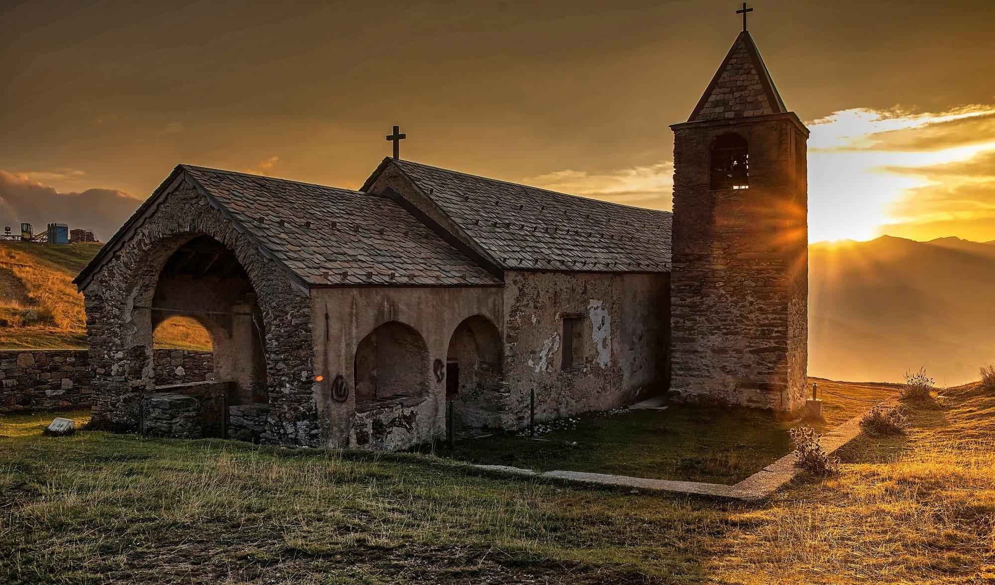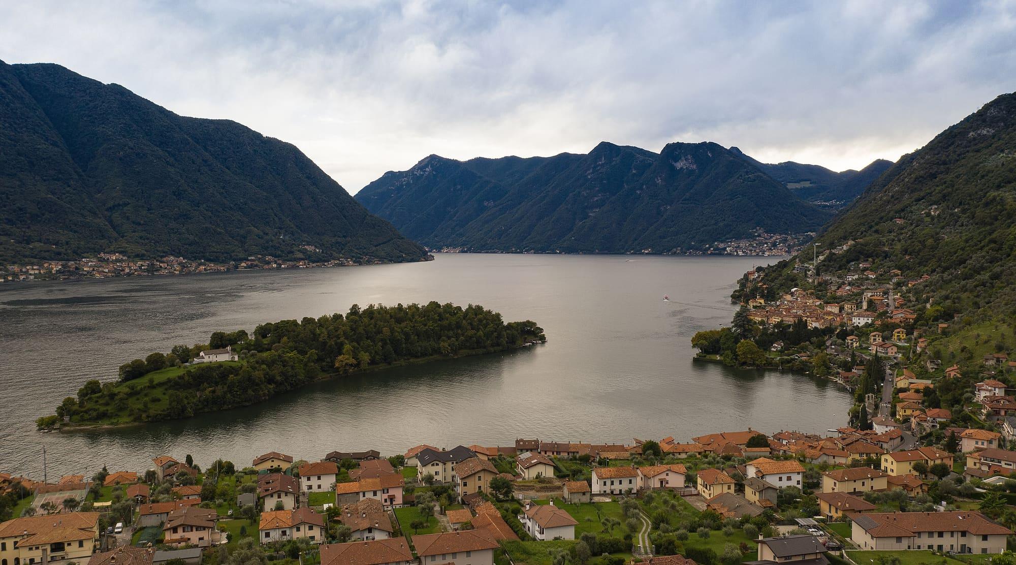
The Cadorna Line comprises fortifications, trenches and roads belonging to Italy's defensive system facing Switzerland.
Around Lake Como, its works extend from Monte Bisbino above Cernobbio through the Valle Intelvi, Galbiga and Crocetta above Menaggio to Forte Montecchio Nord in Colico. Restored trails and sites allow visitors to explore parts of the system.
Its full name is the Italian defensive system on the Northern Frontier towards Switzerland; “Cadorna Line”, the name it is known by, is a misnomer. It was a set of permanent works, designed and built between 1899 and 1918 to protect the Po plain, with Turin, Milan and Brescia, from an attack that France, Germany or Austria-Hungary might launch by violating Swiss neutrality, or, a possibility thought less likely, from Switzerland itself. The chief of staff's name stuck to it because of what happened in September 1915. General Carlo Porro warned him that a German invasion of Switzerland was a real possibility, and Luigi Cadorna revived an old plan of 1882 and ordered a fortified line from the valleys of the Ossola to the passes of the Orobie. On the Lario it ran along the mountains between the lake and the border, and at the top of the lake it closed off the plain where the Adda and the Mera come in.
The fort at Colico's gate
The building began at the top of the lake. On 18 April 1911 the general staff handed the job to the Military Engineers in Milan, who began with the barrier between the Mera and the Adda and the fort on the Montecchio Nord, one of the rocky hills at the foot of the Legnone. The site was chosen because five of the great routes coming down from the Alps towards Milan converge there: the roads and railways arriving from the Splügen, the Maloja, the Bernina, the Stelvio and the Tonale. Work on the fort took place between 1912 and 1914, with concrete walls up to two metres thick faced in San Fedelino granite. By 6 December 1914 the fort was armed. In July 1915, with the war under way, the guns were dismounted and taken somewhere less visible, and only in March 1918 did Badoglio order them back.
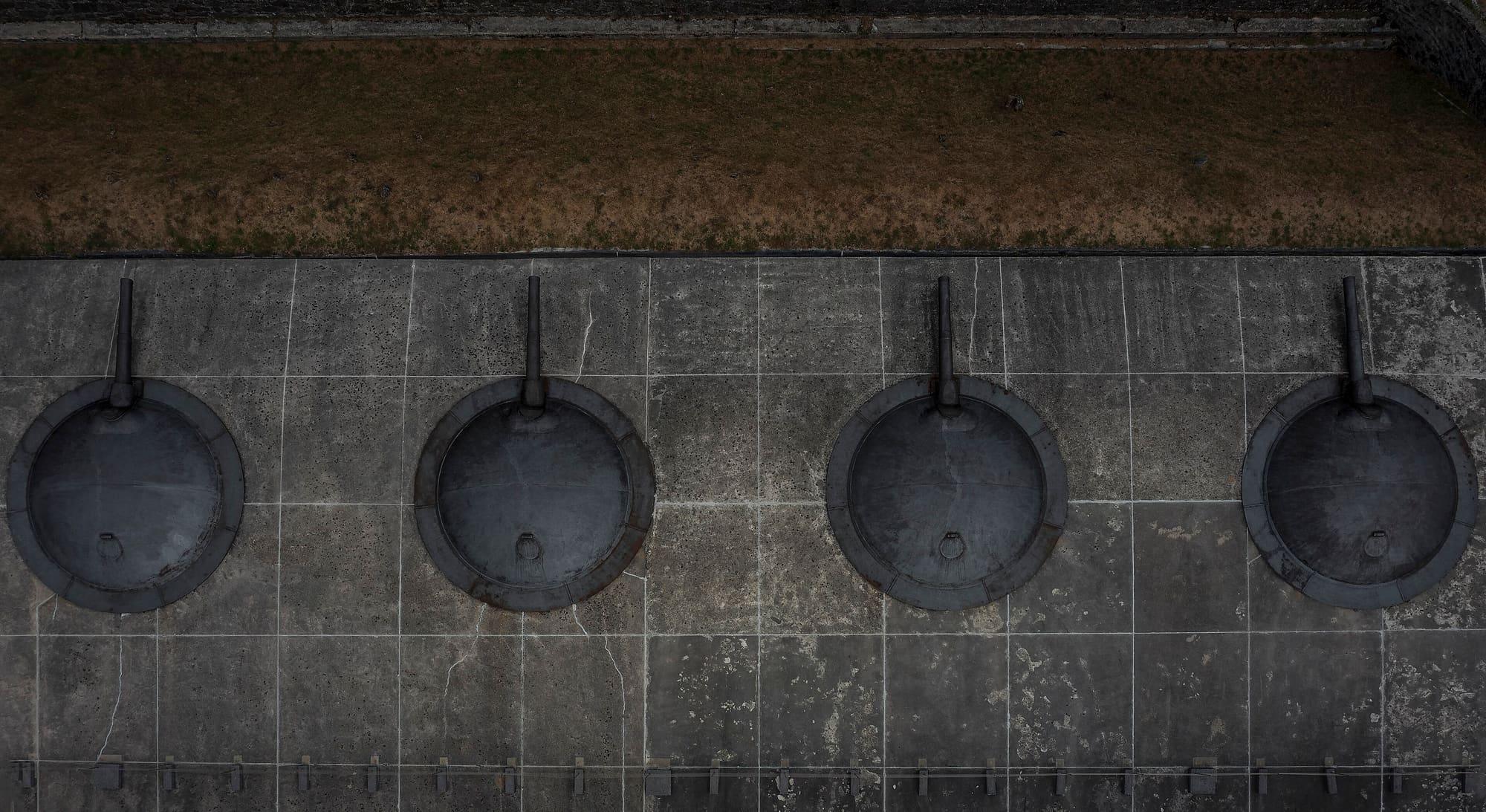
The fort is cut into the rock. Rainwater does not stay on the Montecchio, so there are cisterns under the buildings, fed by collecting basins and filters. In the troops' dormitory the forty nails in the walls stood for as many lockers and bunks; there was no mess hall, and the men ate on their bunks or, in good weather, on the parade ground. In the two rooms where the shells were loaded, locks and hinges are made of copper so as not to strike sparks, and the outer wall is twenty centimetres thick instead of the metre and more of the rest, so that an explosion would blow outwards. At the top are the four turrets: 149-millimetre Schneider guns of 1910 under steel domes that turned with the gun right round the horizon, with a range of twelve to thirteen and a half kilometres and six gunners to each piece. The guns are still in place.
By order of the Ministry of War, the Fortress of Colico is declared in a state of resistance.
Circular from the fort's commander, Lieutenant Colonel Bonalti, 6 June 1915
From the Bisbino to the Crocione
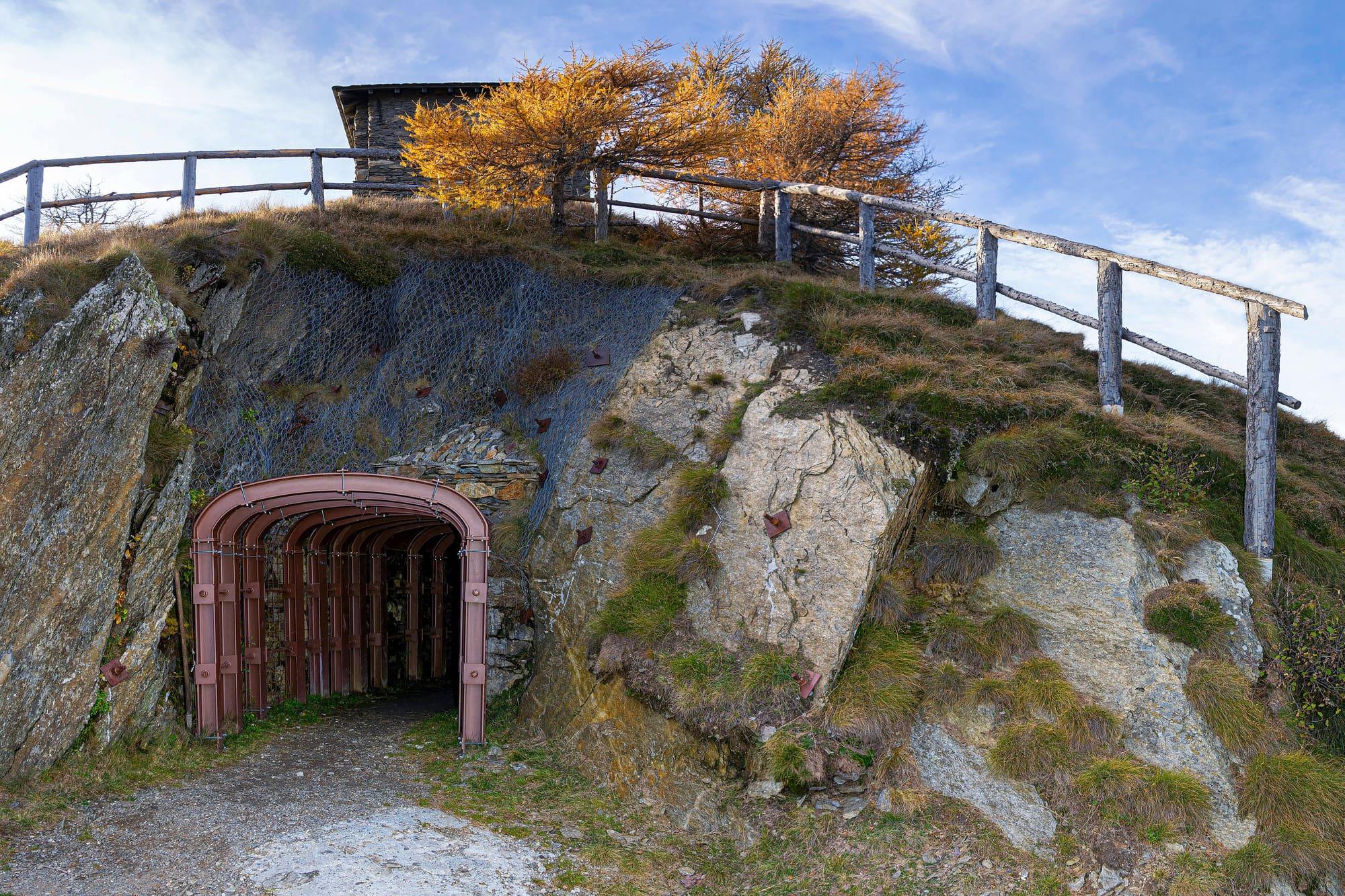
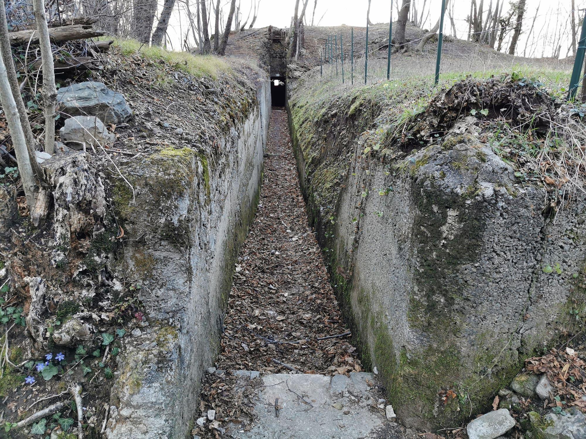
In the province of Como the line ran from Monte Bisbino, above Cernobbio, along the Sasso Gordona, the Galbiga and the Crocione, to the Crocetta above Menaggio. On the Bisbino, the road between the cemetery of Rovenna and the summit was built during the war for the line itself: near the cemetery the stone that marked its start is still there, and a little further on the chain that closed off the military zone. Below the sanctuary an artillery observation post was dug into the rock, with trenches and two gun positions around it, to watch and shell the Valle di Muggio, the Mendrisio basin and the slopes of the Generoso. The works were restored in 2011 and are open to anyone. Further north the Italian Alpine Club's Sentiero Italia rounds the Sasso Gordona on a former military road. Inside the mountain there are a tunnel shelter, three smaller walled shelters, three lines of trench and five positions for machine guns or light guns.
In the Valle Intelvi the key mountain was the Generoso, important in the plans of the Occupazione avanzata Frontiera Nord, the command that had charge of the line from 1917. The Trench Trail starts from the old customs post of Valmara, above Lanzo, at 840 metres, and climbs through twelve levels of trenches: from the Sasso Bovè, with its trench beside the boundary stone, to the Baracche and to trench number eight, the command post and the largest of them. Soldiers and workmen built them making use of the lie of the land. On the Galbiga the military road and the fortifications of 1915–18 survive, reused in the next war as anti-aircraft lookouts. Inside a collapsed trench, about a hundred metres behind the Rifugio Venini, an astronomical observatory has been built, and from outside only its dome shows. The road from Lanzo to the Sighignola was built on the initiative of the Touring Club Italiano and opened in 1913. In 1916 the lookout on the mountain was handed over to the Military Engineers.
Above the centre of the lake
Above Menaggio the line reached the Crocetta, at about five hundred metres. A loop path climbs on to the Sasso San Martino along restored trenches, past armoured positions, shelters for the troops, observation posts and tunnels. Beside them the Menaggio Alpini group built the little church of San Maurizio for the fallen of both wars, and beneath it is a bunker holding the memorial to the village's dead. Across the lake, below the castle of Vezio, there was a position for 75-millimetre howitzers, meant to rake the valley that comes down from Porlezza to Menaggio in case of a German attempt to invade through Switzerland. At the top of the lake, on the other hand, the Colico barrier was judged inadequate: it stood at water level, and an enemy could have shelled it from the surrounding mountains. That is why the high positions on the Legnoncino were built, with the gun emplacements at the Roccoli di Artesso and Lorla.
A line without battles
For the whole line, the works are estimated at seventy-two kilometres of trenches, eighty-eight artillery positions, eleven of them in caverns, twenty-five thousand square metres of barracks, two hundred and ninety-six kilometres of roads and three hundred and ninety-eight of mule tracks, at heights from six hundred to over two thousand metres; forty thousand men worked on them. The invasion through Switzerland they were designed to resist did not take place during the First World War. By early 1917 the works were almost finished, but by the middle of the year the guns had left for the Veneto and the line had passed to six battalions of the Royal Finance Guard. After Caporetto those too were sent to the Piave, and the northern frontier was left unmanned until the end of the war. The command was disbanded on 10 January 1919. In 1938 Mussolini thought of invading Switzerland and sent the Como Blackshirt battalion, seven hundred men, up to the line; then the order was withdrawn.
The Colico fort fired in war only once, during the Second World War. On 27 April 1945 the partisans fired five rounds, none of them on target, at the Italian-German column travelling along the opposite shore after Mussolini's capture at Dongo. The next day, the column's surrender was signed at the Albergo Isolabella in Colico. In 1947 the guns fired twenty more rounds towards the Legnone basin at the funeral of the partisan commander Leopoldo Scalcini, and that was the last time. The fort became a powder store and was demilitarised in 1981; in 1998 the Ministry of Finance handed it to the Comune of Colico, and since 2009 the Museo della Guerra Bianca has run it. In 1939 it had been named after Aldo Lusardi, a gold medal for military valour, which is why it is also called Forte Lusardi.
Historical events linked to this story are collected in the Lake timeline.