6Nov
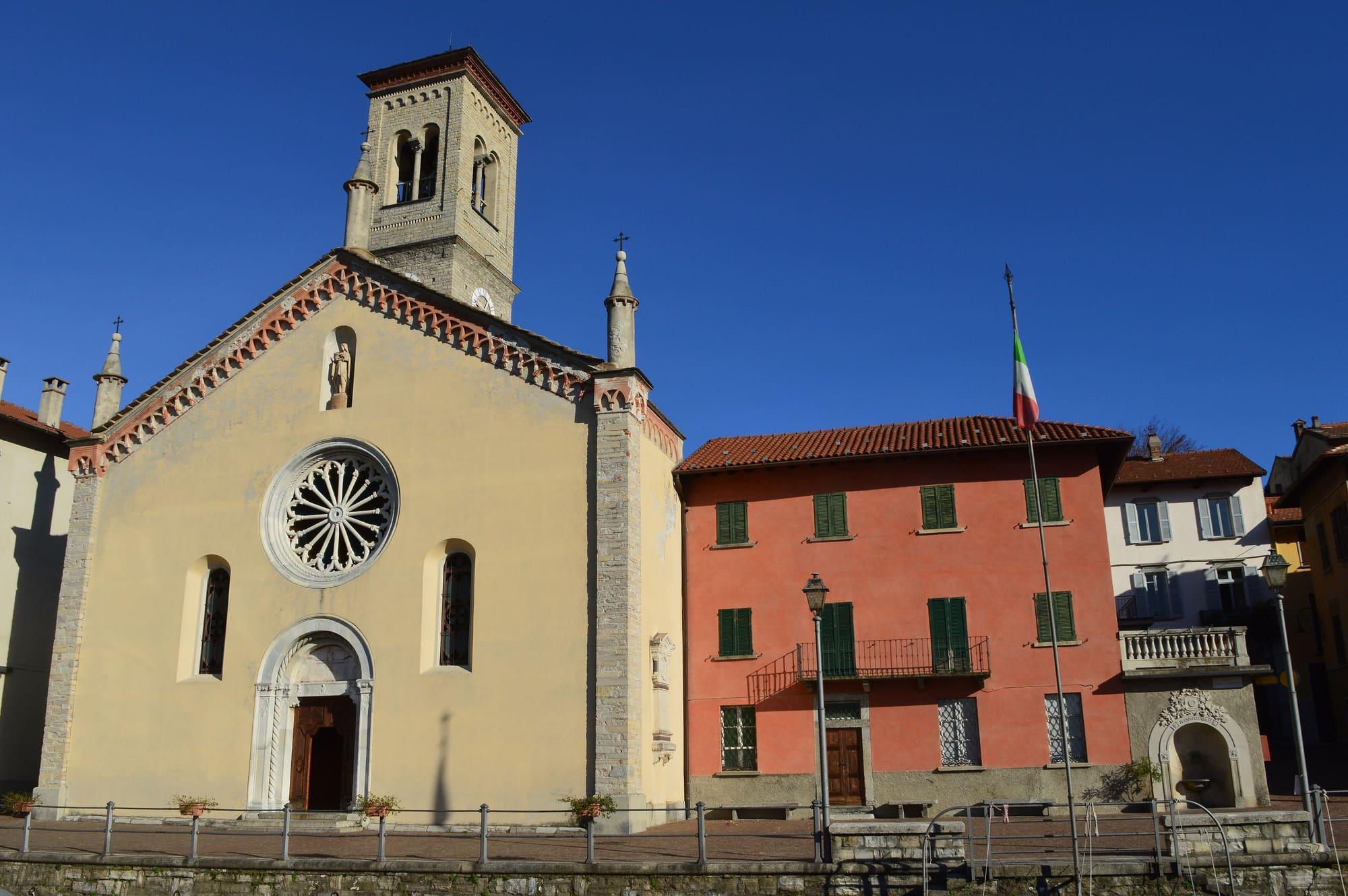
Moltrasio's patronal feast
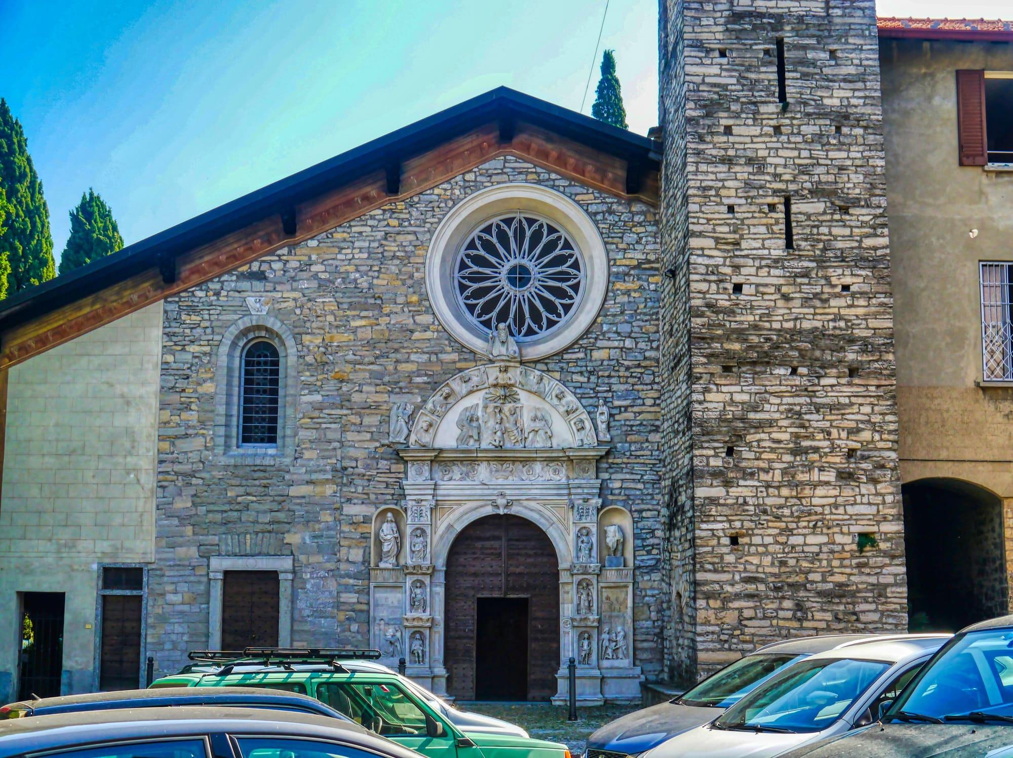
The feast of the patron saint San Martino in Moltrasio in November.
The parish church, Moltrasiountil 8 November
First Basin
The Strada Regia is a paved mule track of some thirty kilometres up the eastern shore of the Como branch, from Brunate to Bellagio by way of Blevio, Torno, Faggeto, Pognana, Nesso and Lezzeno, between dry-stone walls and chestnut woods. The route was traced in Como's State Archive on the maps of the Theresian cadastre, of 1721, and of the Lombard-Venetian one, and was recovered between 2002 and 2006 by the Società Archeologica Comense with the Comunità Montana del Triangolo Lariano.
WhereTorno · Nesso · Brunate · Bellagio · Blevio · Faggeto Lario · Pognana Lario · Lezzeno
Length, climb, altitude and walking time calculated on the path's track. The track runs from Brunate (Funicolare) to Lezzeno (Ponte del Diavolo).
CAI gradeE · hiking: real path, steep stretches
Trail status
No closures reported by the trail managers; last checked on 1 October 2026. Ordinances and landslides can close a path without warning.
Notices from the managers: Comune di Torno · avvisi
Track © OpenStreetMap contributors (ODbL); heights from Terrain Tiles (SRTM/EU-DEM). Time follows the DIN 33466 rule (4 km/h, 300 m/h up, 500 m/h down), without stops. The profile is exaggerated vertically. Sources: OpenStreetMap · Terrain Tiles
© OpenStreetMap contributors · ODbL
Events within a few kilometres, on now or coming up.
6Nov
The feast of the patron saint San Martino in Moltrasio in November.
23Jul 2027
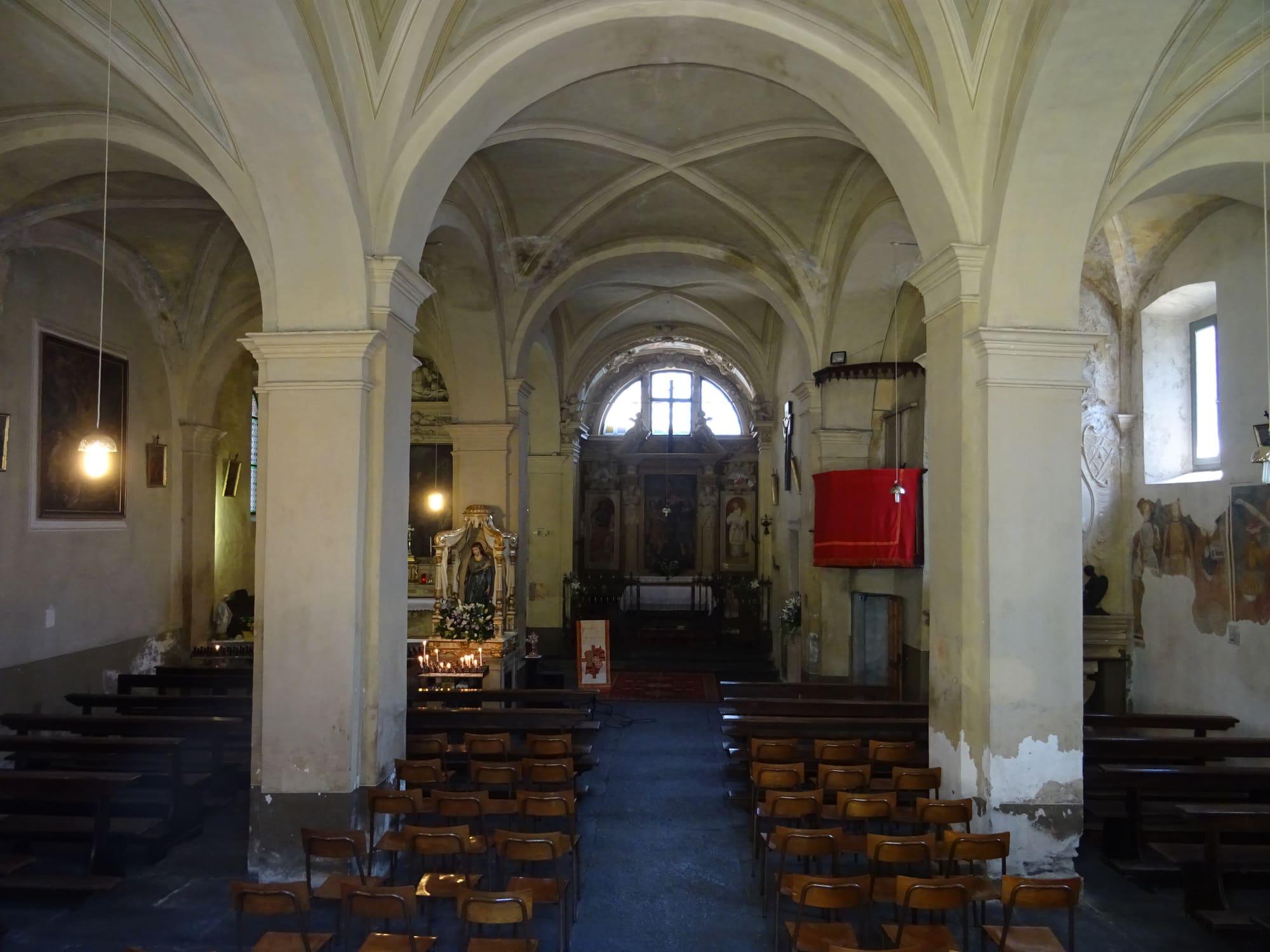
On the last weekend of July, around the church of Santa Marta above the lake: mass every evening, theatre, music and, on Sunday, the procession.